Lake Herbert
/
This is an 8.5 km (return) walk, taking around 5 hours in Western Tasmania just out from the town of Tullah.

Starting the Walk
The walk goes to a pretty alpine lake, Lake Herbert, with terrific views of the surrounding mountains and lakes, including the much bigger Lakes Mackintosh and Rosebery.

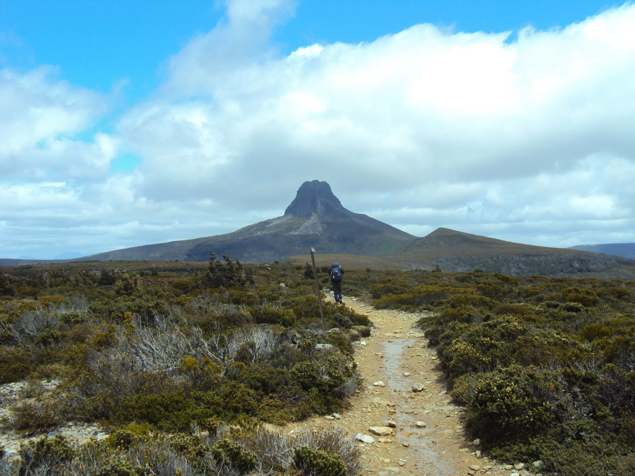
View of Mount Murchison
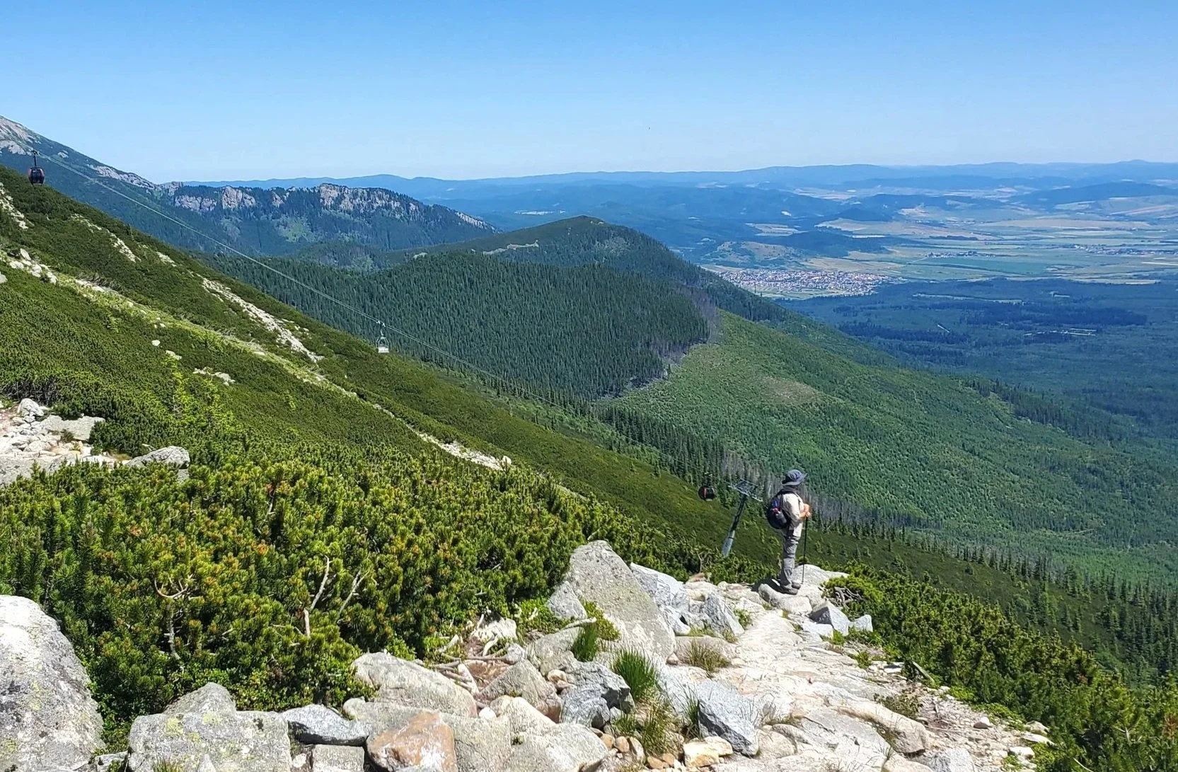
The walk starts at an elevation of 160m and rises to the 670m contour on the shoulder of Mount Farrell (711m).

Lake Mackintosh
The walk is through forested areas at the beginning with button grass predominating higher up.
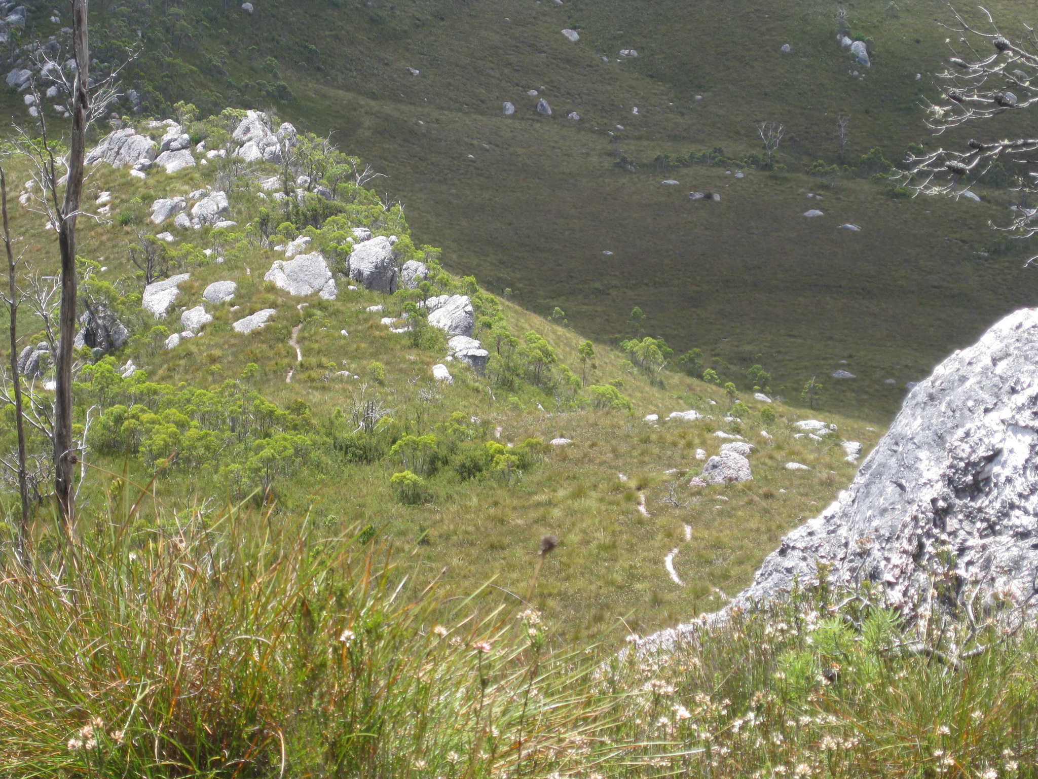
Getting close to the top
On a clear day Cradle Mountain and other mountains on the Overland Track can be seen.
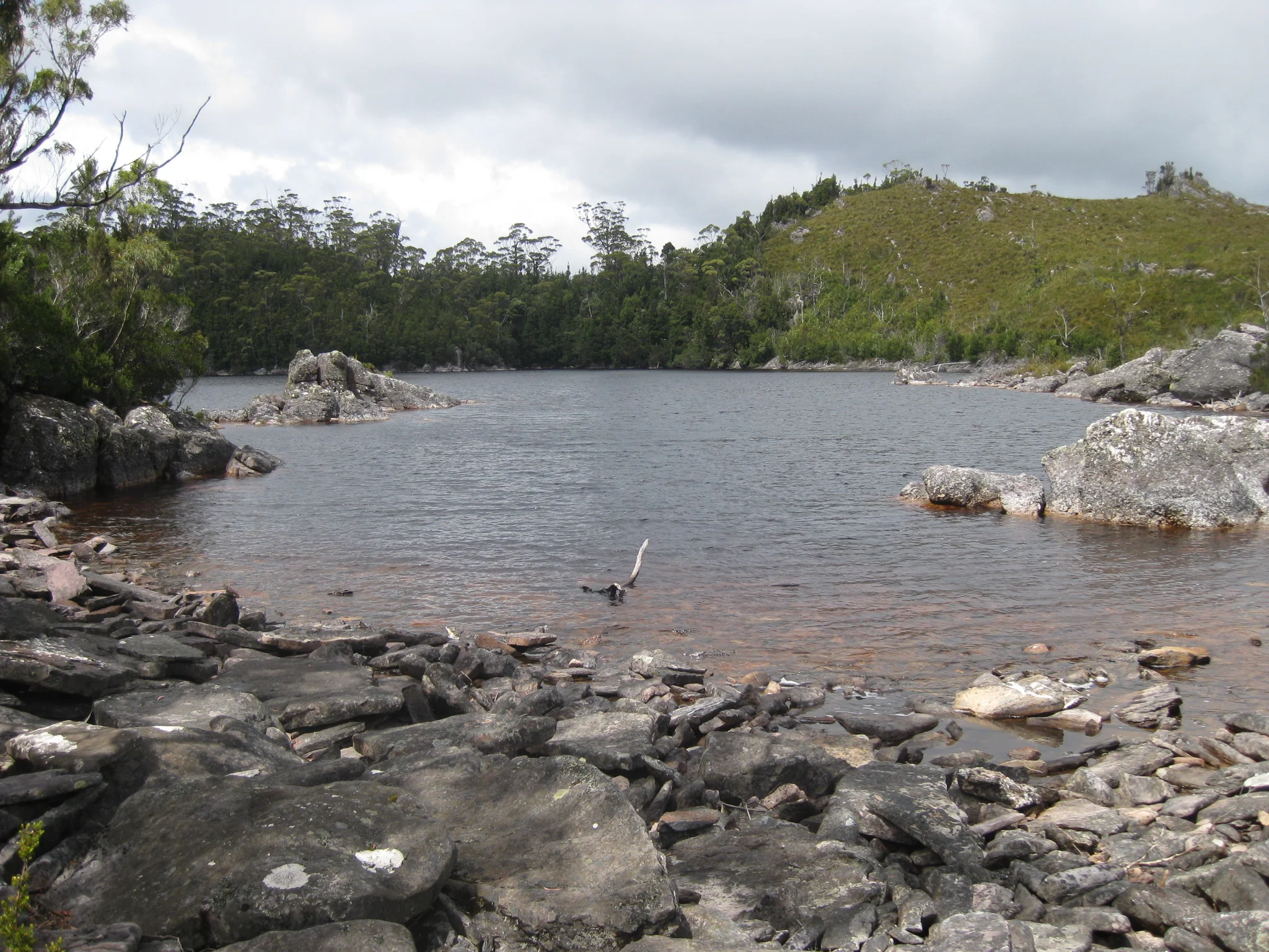
Lake Herbert
If the weather is kind, as it was when we went in January a couple of years ago, Lake Herbert is a good place for a picnic lunch before heading back.

In the past Lake Herbert supplied water for mining. In more recent times Lakes Mackintosh and Rosebery were constructed for hydro-electric power.

This feels like a real wilderness walk, but is very accessible due to it's proximity to Tullah.

And it has some of the best views of any day walk in the west of Tasmania.

View of Tullah

Back at Tullah on Lake Rosebery
For detailed walk notes the book 100 Walks in Tasmania by Tyrone Thomas and Andrew Close is an excellent reference and has 99 other good walks.
Ken