
Our Travels in 2016/17
Who decided that only 18 year olds can have a gap year? Why not 58 year olds? Well, that's what we decided to do for 2016, to spend a full year on the road.
We flew to Santiago in early January 2016. Initially we travelled down south to Patagonia then gradually made our way through South America, the Caribbean, Central America, and Mexico by the end of 2016. The original plan was to arrive in the USA in late September and finish the trip in the US and Canada by Christmas. But we got stuck in Central America (pleasantly so - we loved it) and so, in order to visit North America we extended our travels until the end of June 2017. In total we were on the road for 18 months. Below are maps of where we went and a list of posts that were generated through the trip.
NB: Please forgive the messy maps - we haven't mastered Google Maps yet.
Map 1.
Map 1 covers the period from commencement, January 2016 to November 2016.
Map 2.
Map 2 Covers the period from November 2016 to April 2017.
Map 3.
Map 3 covers our European leg from April to the end of June 2017 and flight home.
Red or thick black line indicates route completed by flight.
Blue line indicates route completed on land (road or rail).
Green line indicates route completed by boat.
Note: This map may not display if using Windows Explorer. Please open site in Google Crome or Firefox.
Here's What Happened
January, February, March - Chile, Argentina & Uruguay


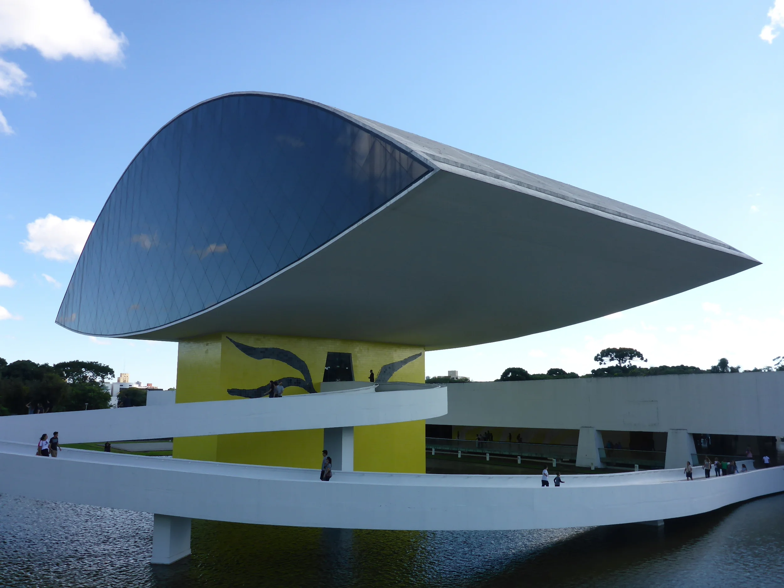
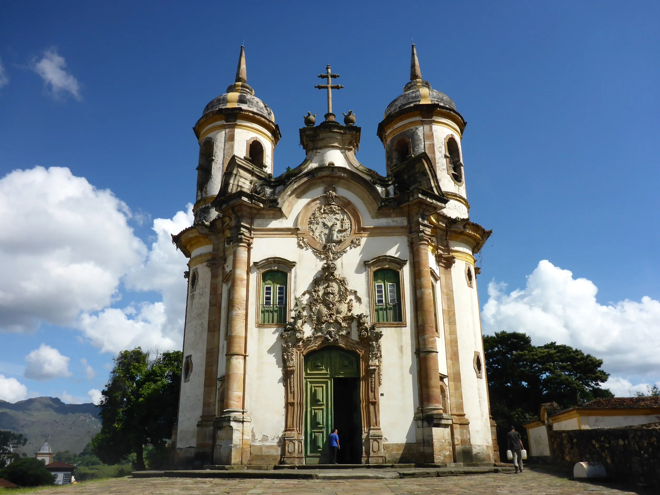
April, May - Brazil, Ecuador & Colombia


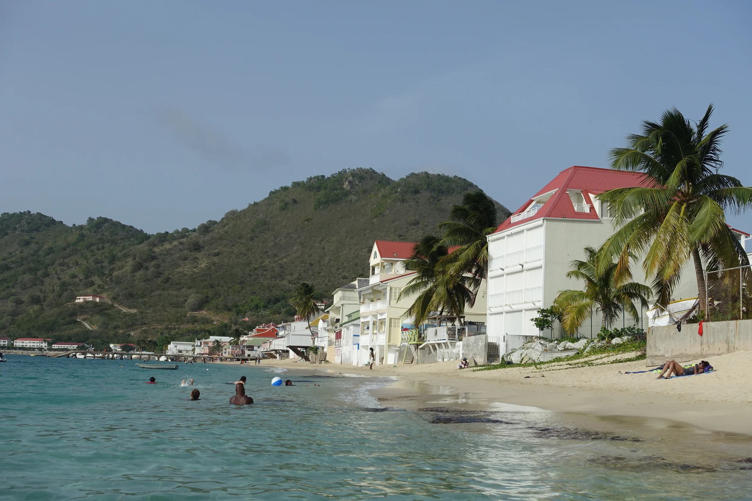
June, July - The Caribbean


August - Cuba


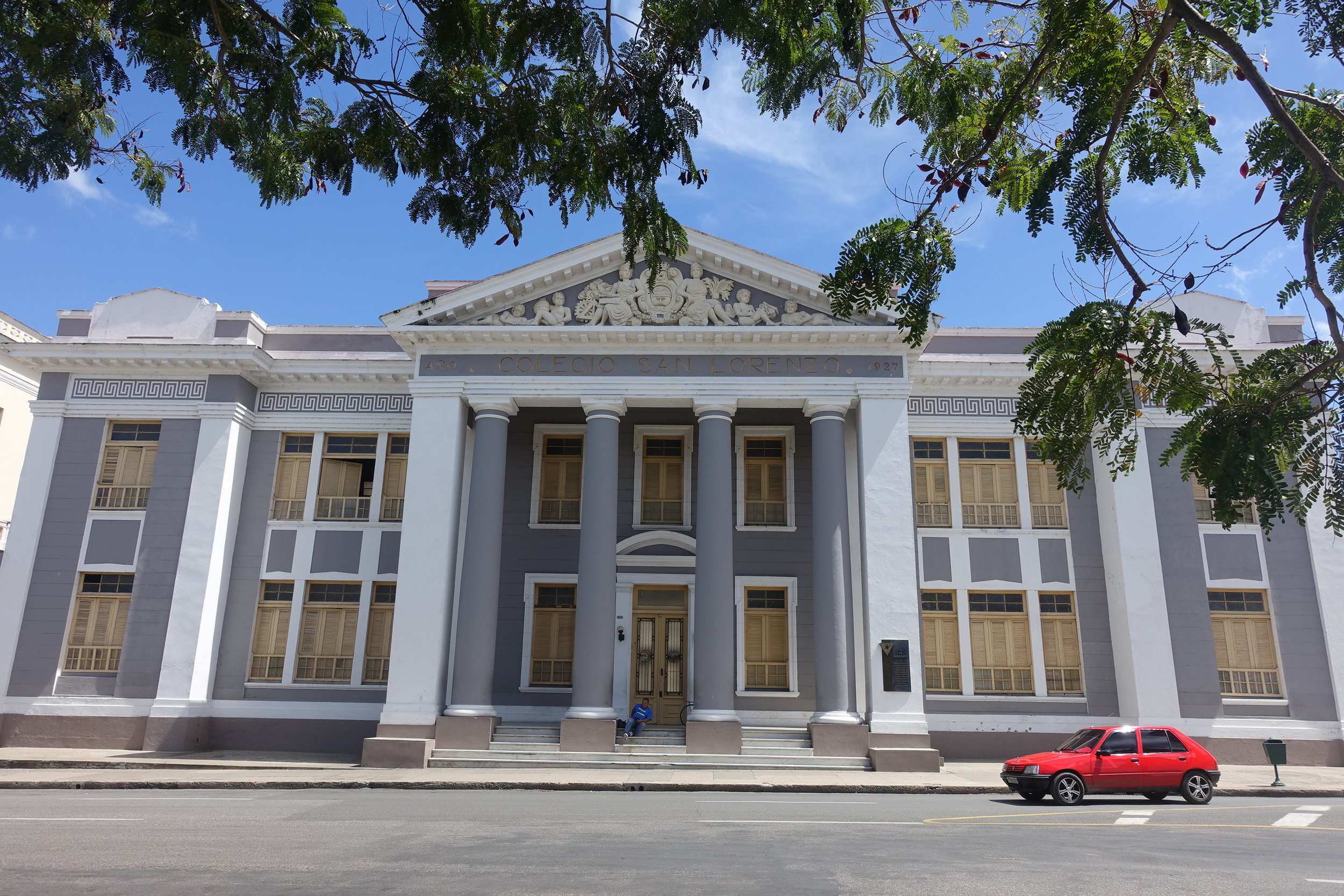


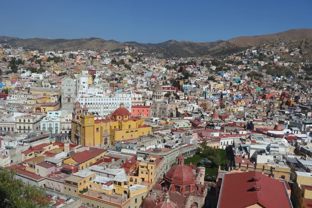
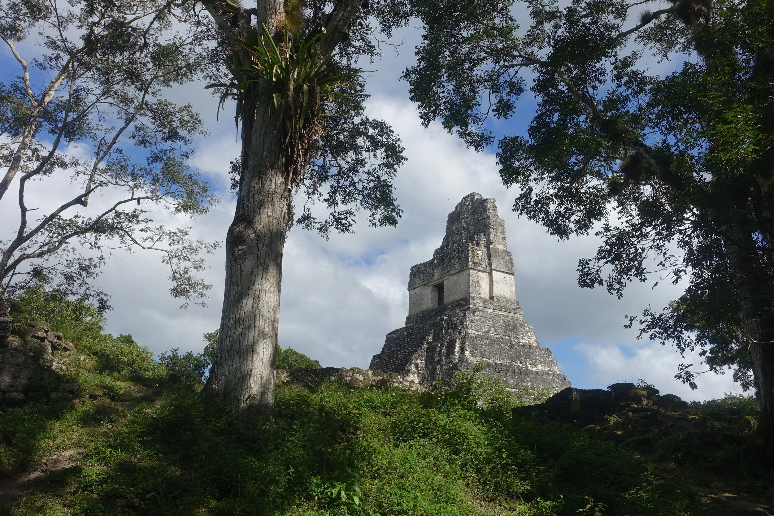
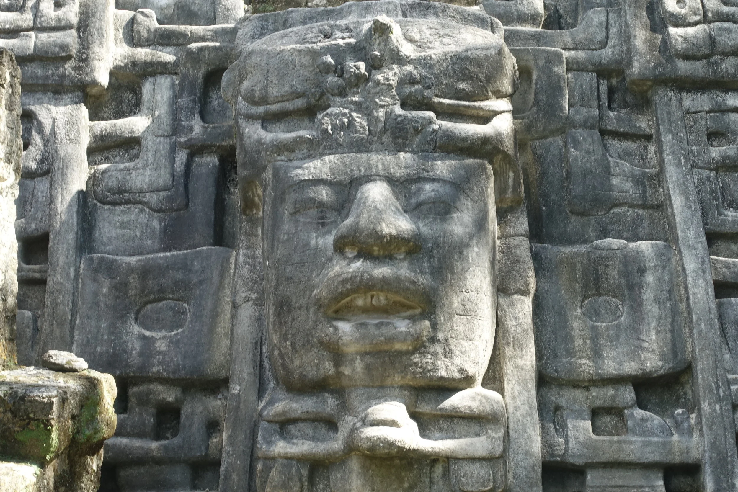
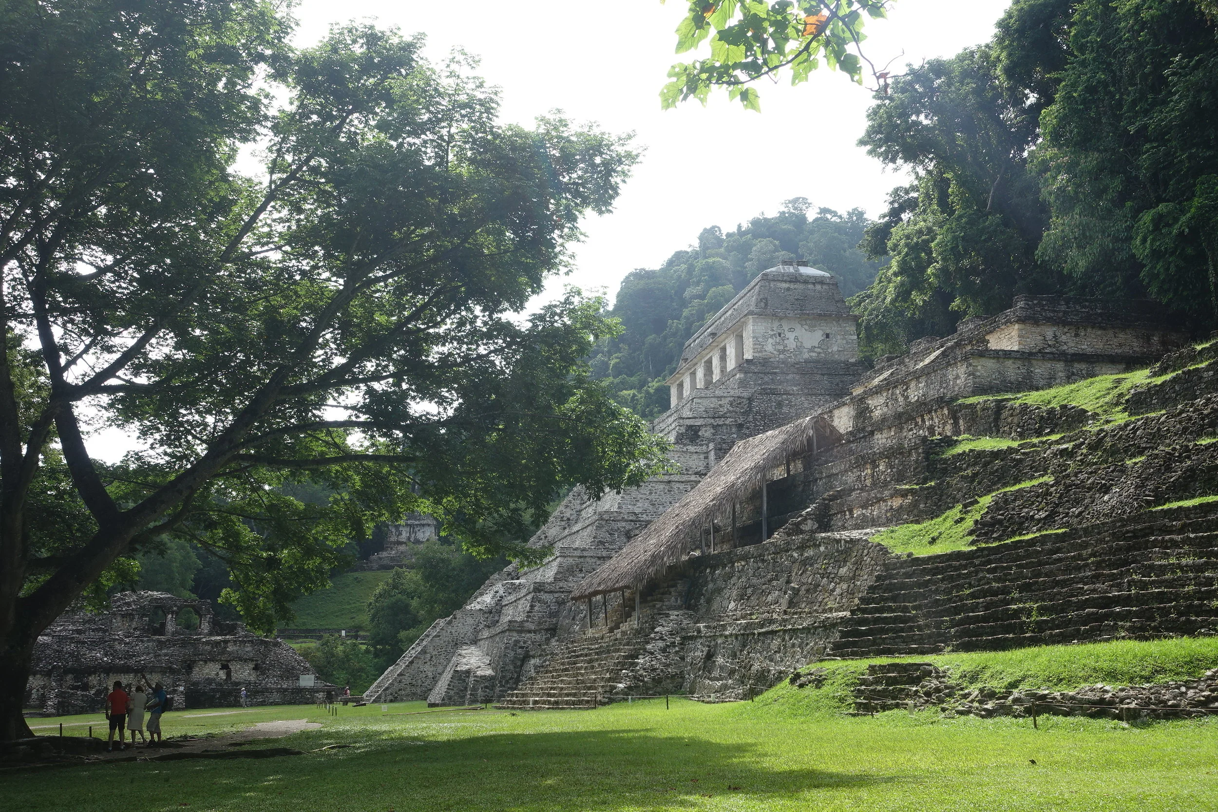
September, October, November, December - Central America and Mexico


January, February, March, April - USA and Canada


May, June - Europe


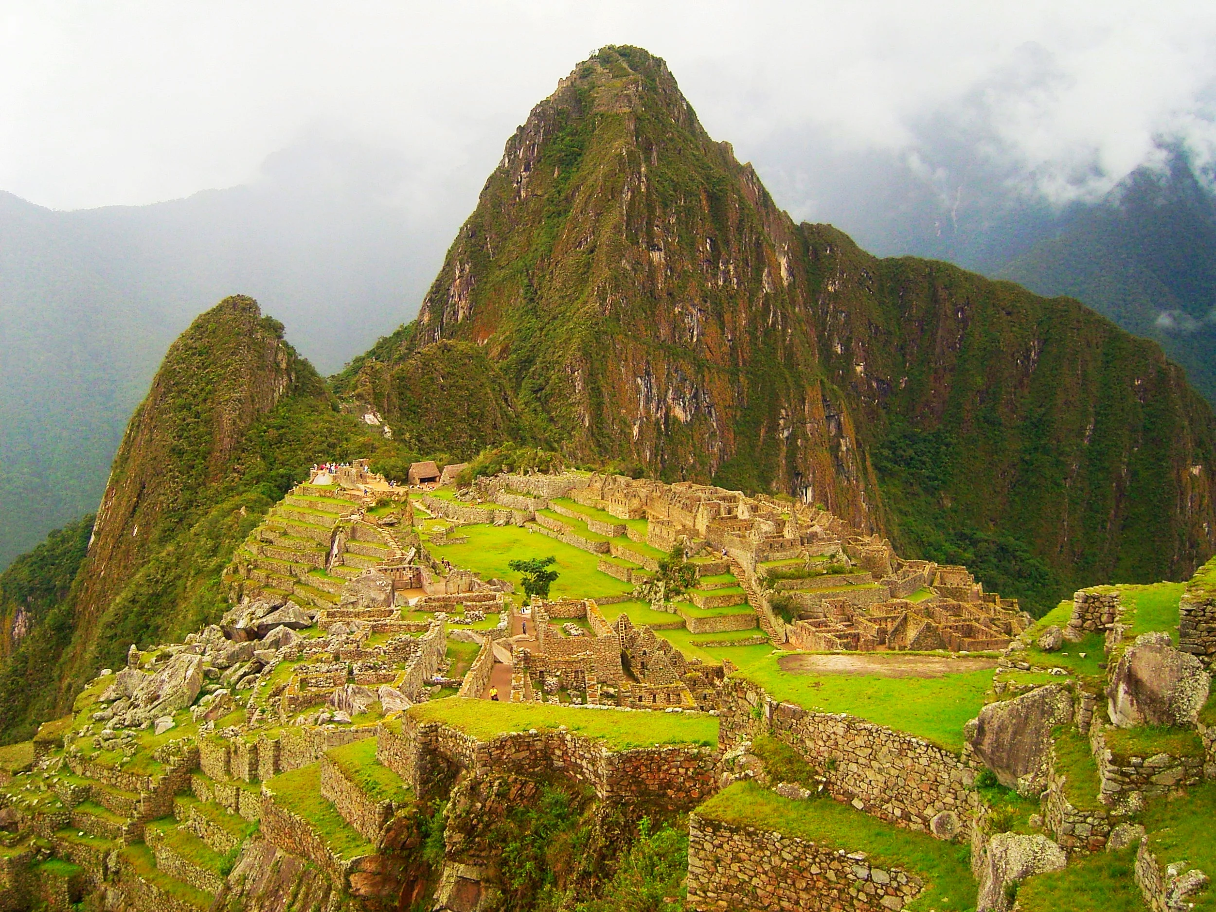
In the past Uruguay has generally not featured on many South American travellers' itineraries, particularly those with limited time where the focus tends to be on the continent's big attractions, such as Machu Picchu, Iguazu Falls, Rio, and Patagonia. But that is changing. Lonely Planet ranked it #8 in countries to visit in 2016 and tourists are increasingly discovering that Uruguay has a lot to offer. We spent two and a half weeks travelling from the North West of the country to the South East border with Brazil. Here is a bit about our experience.