Mount Kate Walk - Cradle Mountain
/
Introduction
Mount Kate is a little visited peak in the Cradle Mountain – Lake St Clair National Park. It is not signposted but is a relatively easy 6 km return walk from Ronny Creek (the start of the Overland Walk). It provides great views of Cradle Mountain, with a different perspective to most of the walking tracks in the area. It is a very worthwhile day walk. We did it recently with friends Jill and Tom. Here’s how we went about it.

Getting Started
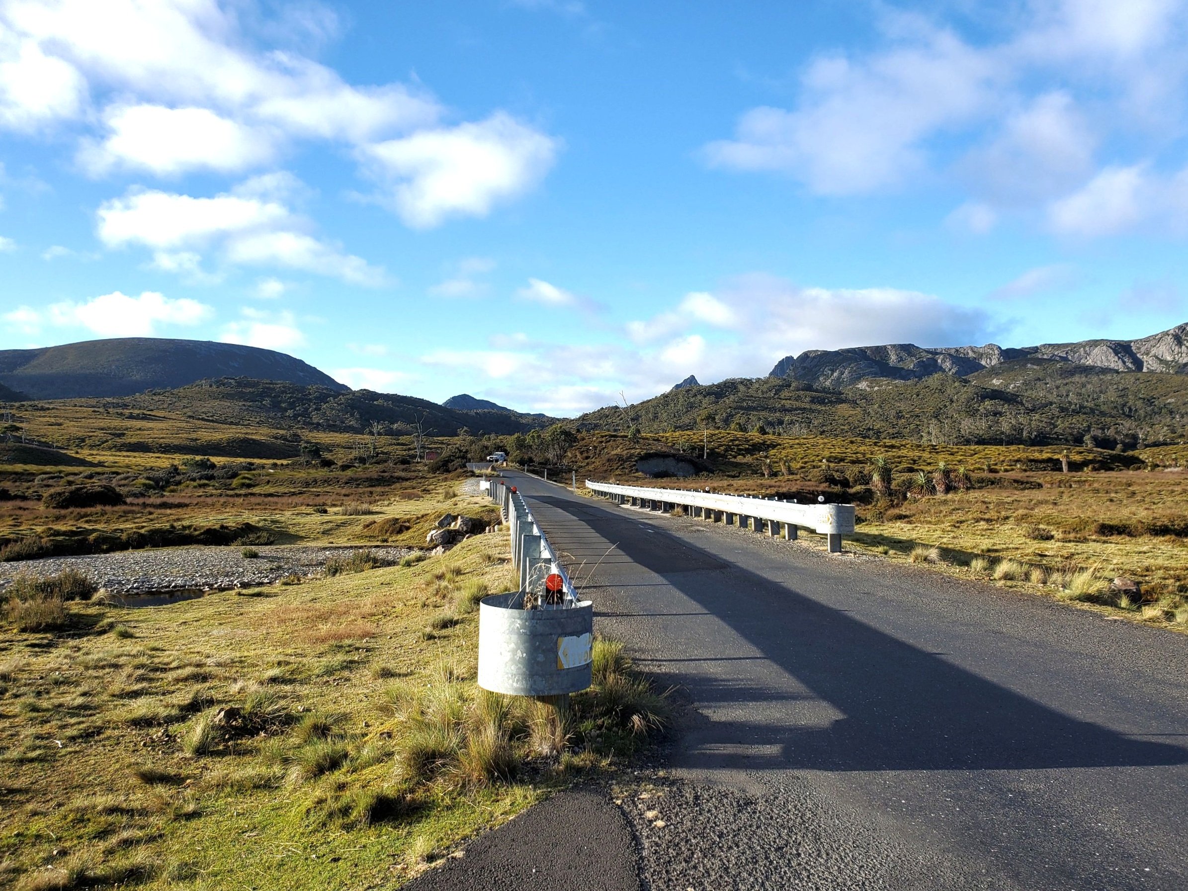
Most visitors to Cradle Mountain catch the shuttle from the Visitors Centre to Dove Lake. However, for Mt Kate get off at the Ronny Creek stop, a few kms before Dove Lake.

Cross the bridge over the river.
Take the path to the left.

Cross a small wooden bridge.

Follow the duck board until it splits in two. The left path is to Mount Kate House. Take the right fork. This ultimately leads to the lodge of the Blandfordia Private Alpine Club. Don’t worry, you’ll turn off before reaching the lodge.

Continue past the sign “Blandfordia Hut. Private Access Only”.

You’ll soon see a rock cairn with an erect stick on your right. Take the path that leads off beside the cairn.

The Walk
Initially, the trail follows a gravelly, old logging track that was used for removing King Billy Pines.
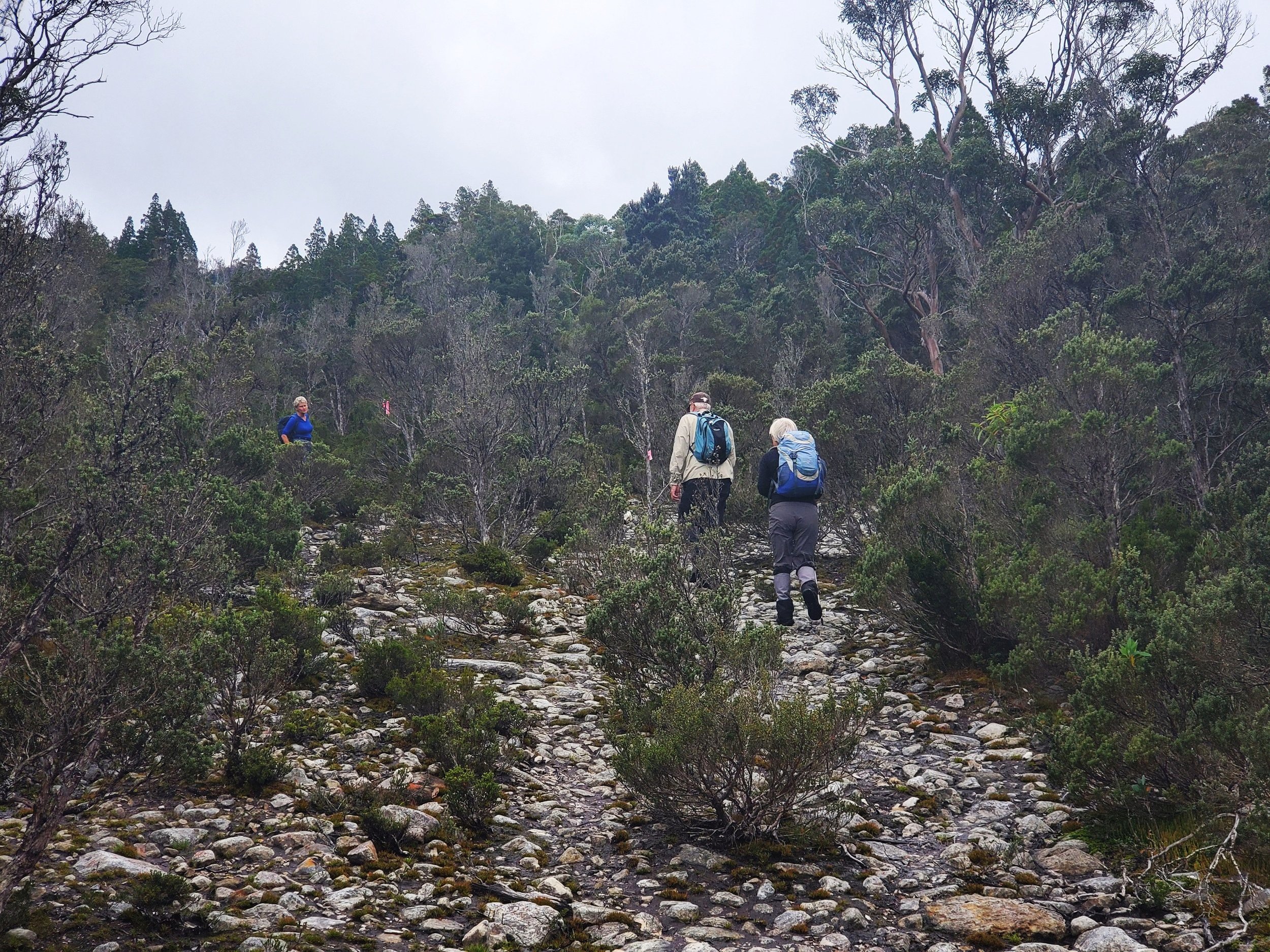
The track heads gradually uphill through tea tree and heath scrub.

After a bit more elevation is gained reasonable views of Cradle Mountain can be seen to the southwest.

The bush gets a bit thicker as you continue the climb.

Pink tapes mark the way at various points.

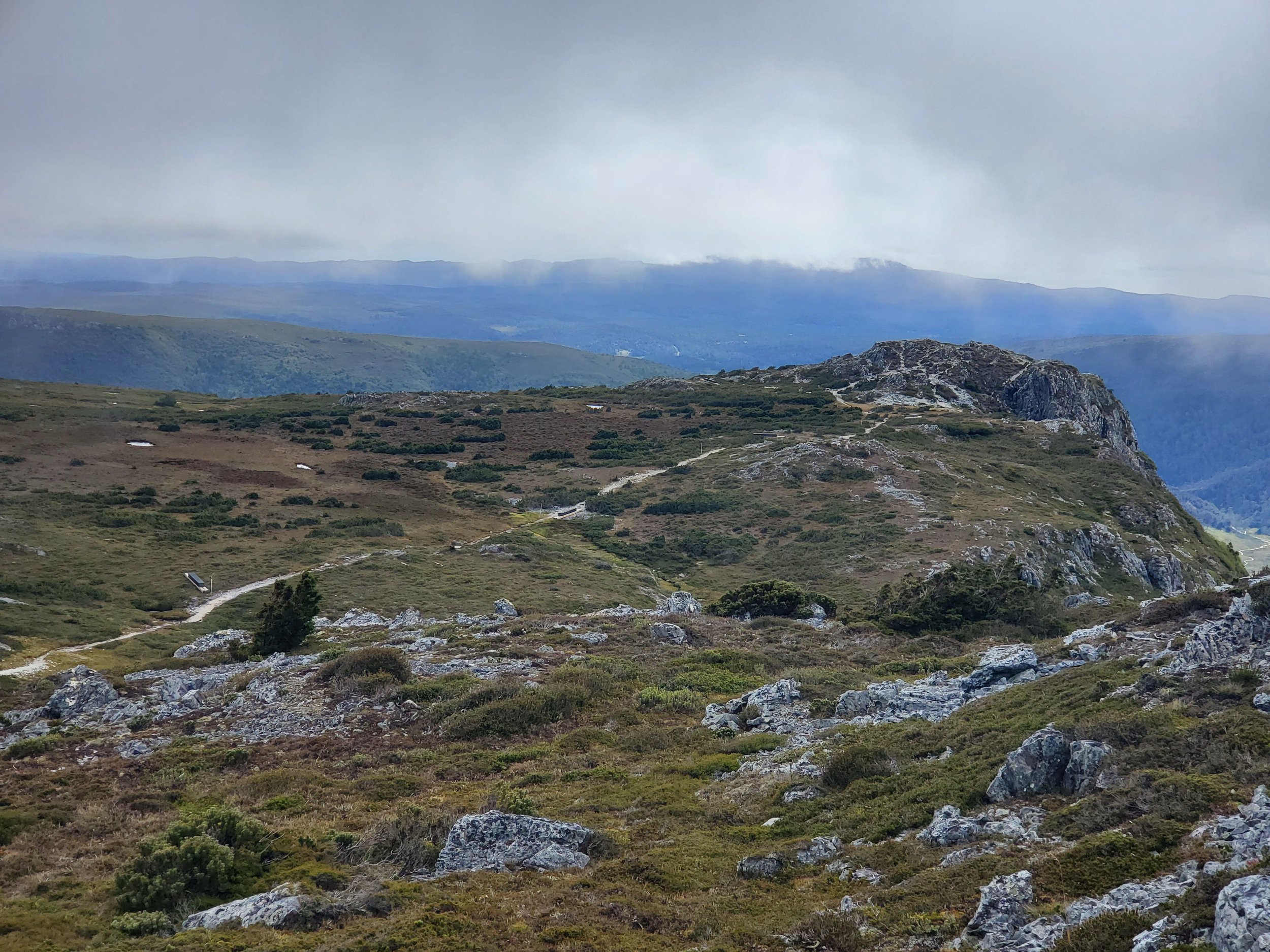
The track starts to steepen as you approach a rocky knoll, which is roughly the halfway point to the summit. We stopped at the rocky outcrop to grab our breath and a drink.

And to enjoy the view of Cradle.

A good visual of the track ahead all the way to the top can also be gained from here.
We continued on.

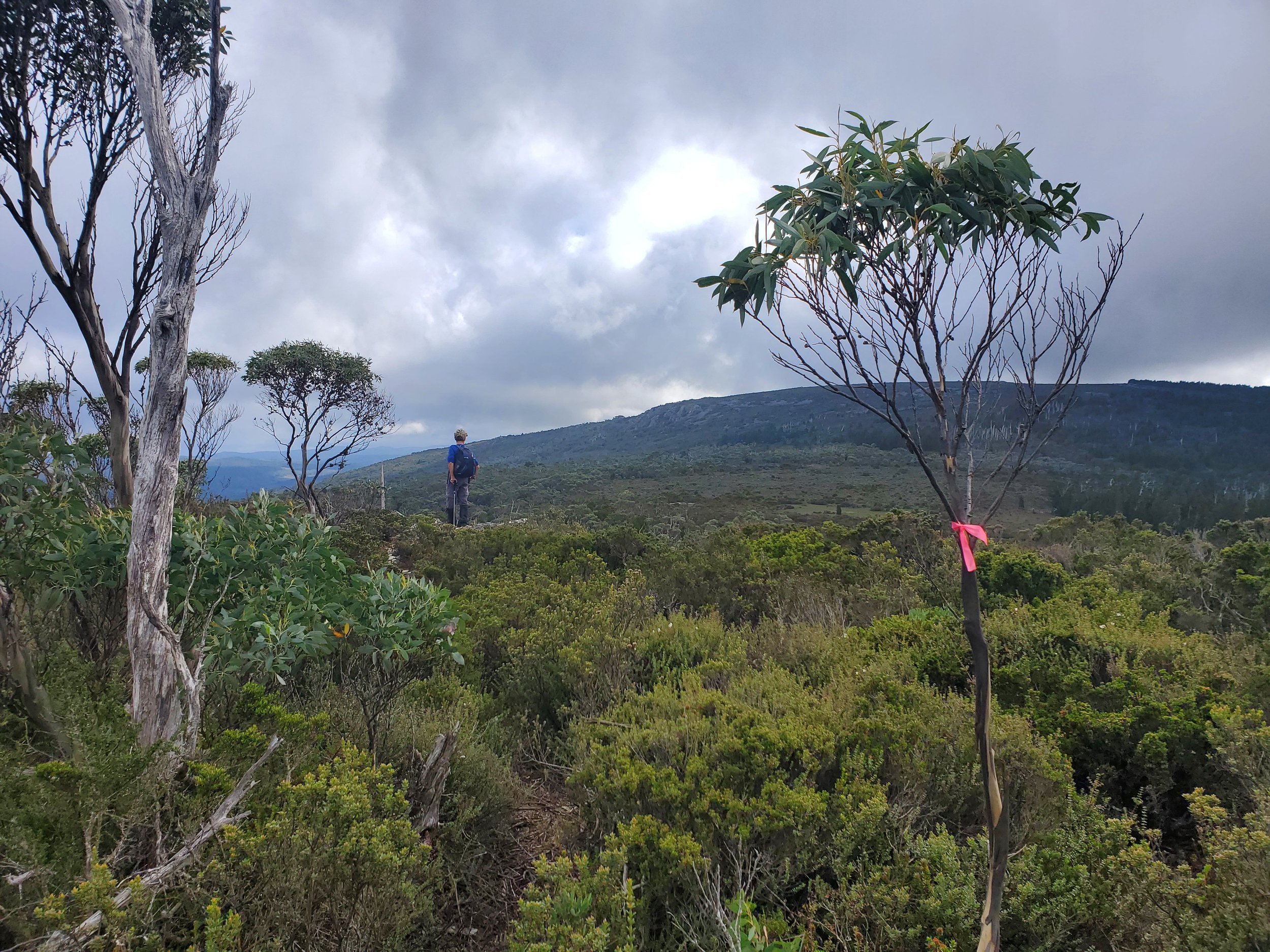
The second section of the walk is easier and through mostly open alpine country.

With the occasional stand of pencil pines.

Unfortunately, many of the trees have been killed by fires. It can take centuries, if ever, for alpine native forests to recover.

Nearly there.

Patches of quartzite scree appear as you approach the summit.

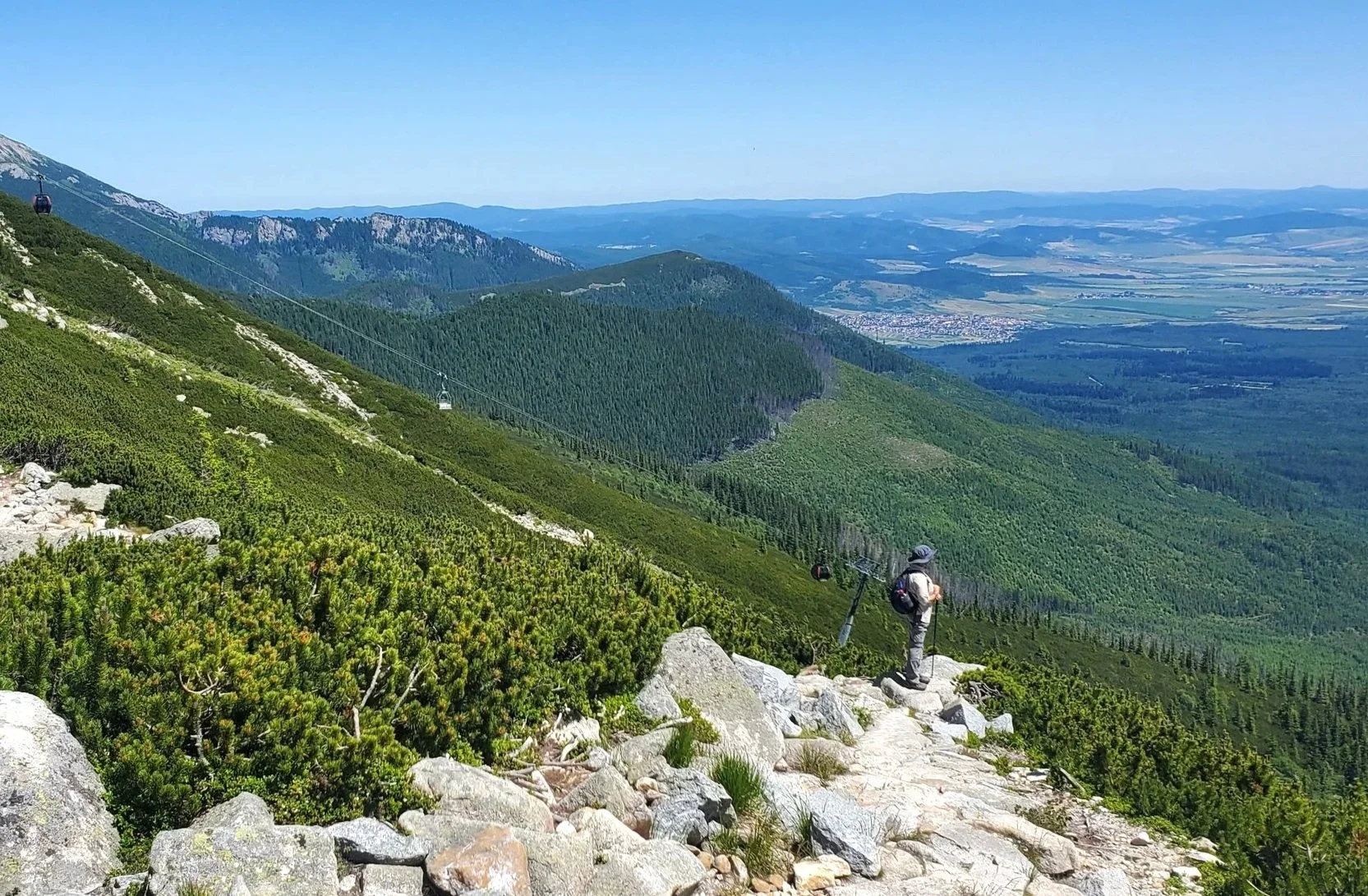
Eventually, a large, impressive, lichen-covered cairn announces that you’ve reached the top. Mt Kate stands at 1156 metres. It is named after Kate, the wife of Gustav Weindorfer, of Waldheim fame (google it if you’re not familiar with the Weindorfers).

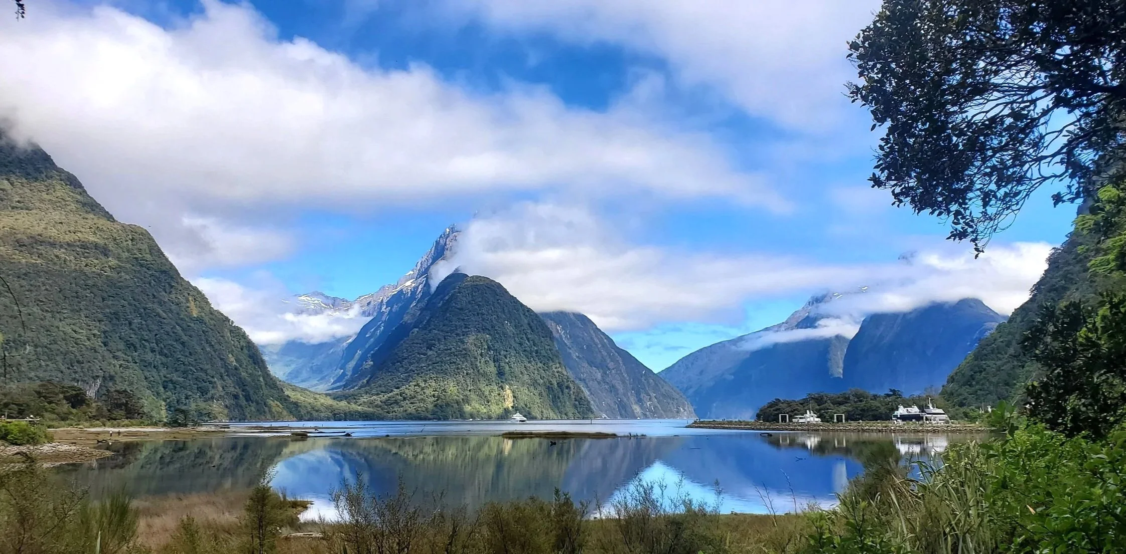
From here there are excellent views of Cradle Mountain and Dove Lake (on a clear day). We were lucky. It was a bit cloudy, but still pretty good for checking out the panorama.

We then returned via the same route.

Conclusion
The walk took us just over 3 hours. This included short breaks at the rocky knoll and the summit.

We saw no other walkers. The lack of reference to this walk in the usual Cradle Mountain visitor information helps to keep it fairly obscure and little visited. But if you have time to fit this into a Cradle Mountain visit you won’t be disappointed.

Ken and Cally
PS
While in the area we also did a number of other walks including the Crater Lake Circuit. Here are a few shots.


And the longer Horse Track.