Saba's Mount Scenery Trek: the Highest Point in the Netherlands
/
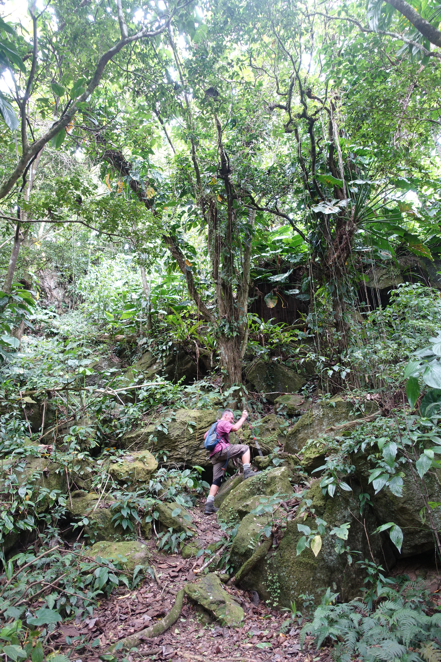
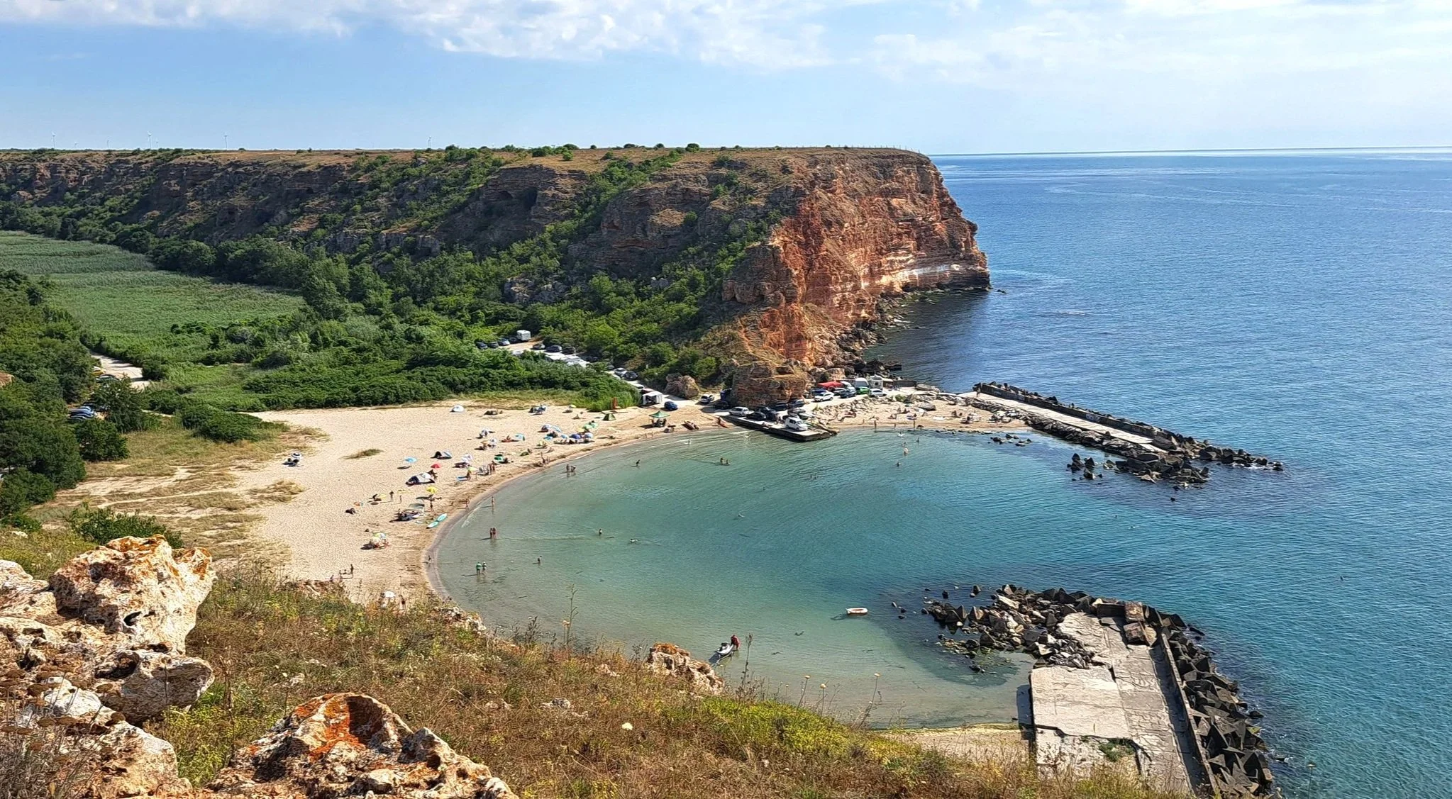
windwardside from the mount scenery track - maskehorne hill
Despite having a pretty good grasp of global geography we hadn't heard of the Caribbean island of Saba until we started planning our trip through the region.
Saba (pronounced Sai-ba) is technically a part of the Netherlands. It is classified as a special municipality. Unlike Aruba, Curacao and Sint Maarten, which are all independent countries within the Kingdom of the Netherlands along with the Netherlands (a bit like the way Wales, Scotland and Northern Ireland are part of the UK but England tends to dominate the decision making) Saba, along with two other small islands, St Eustatius and Bonaire, are municipalities within the Netherlands.
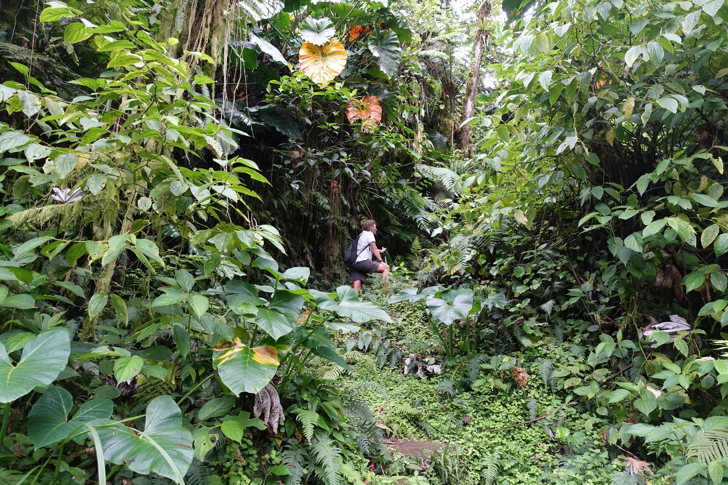
the mount scenery track
Apart from it's interesting legal status Saba is known for it's dramatic jungle covered slopes and peaks, perfect for trekking, bird and other wildlife, along with some world class diving.
We decided to check it out with an overnight visit so we could do it's signature trek, Mt Scenery.
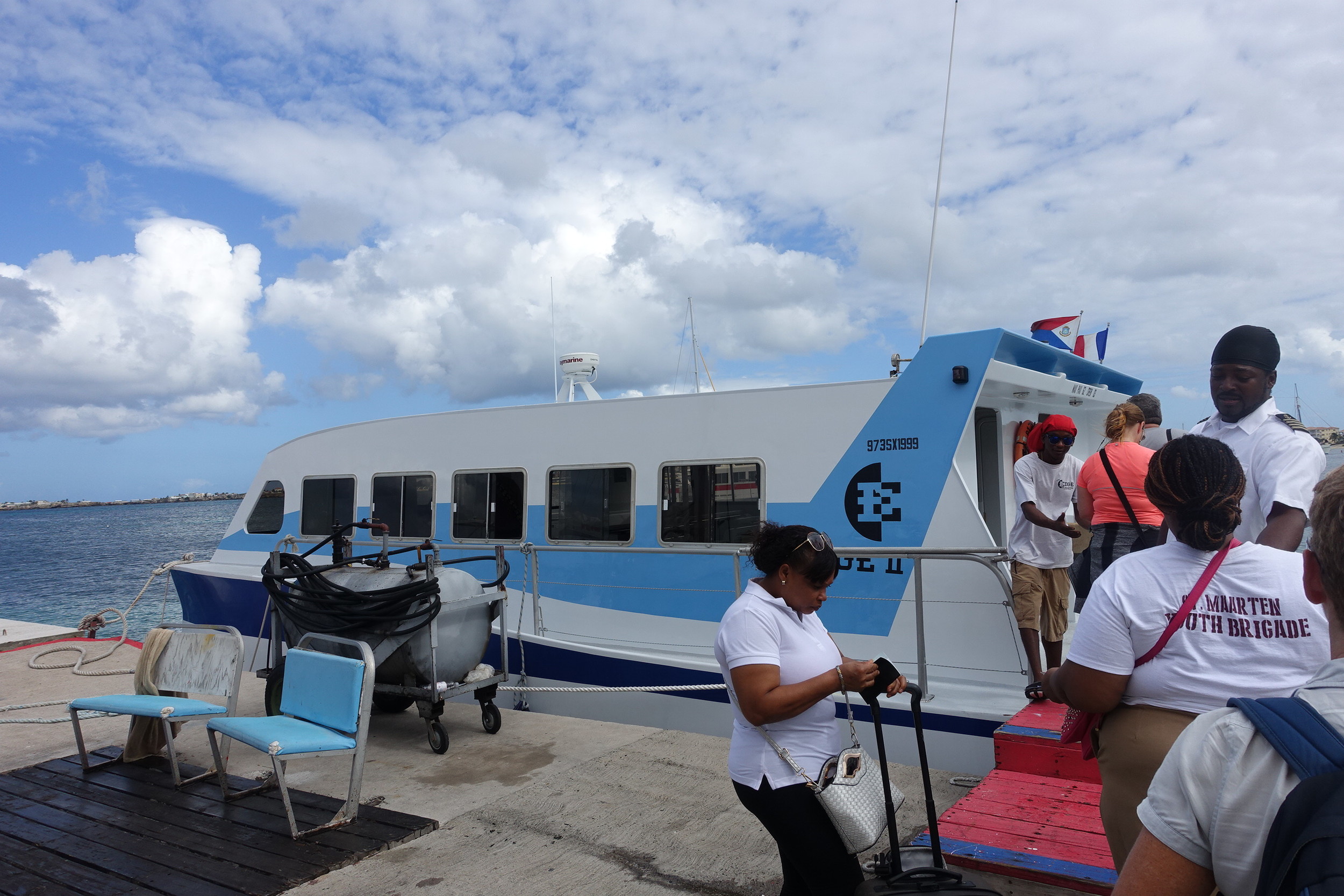
MV Edge II
Saba is easily accessed from Sint Maarten (the Dutch side) by ferry. Two ferries do the route on different days. The MV Edge runs out of the Simpson Bay Resort on Sundays, Wednesdays and Fridays and costs $US55 one way. Many people do it as a day trip leaving Sint Maarten at 9.00am and returning from Saba at 3.30pm. The trip takes 1.5 hours. By staying overnight on Saba it meant we didn't have to rush with the trek.
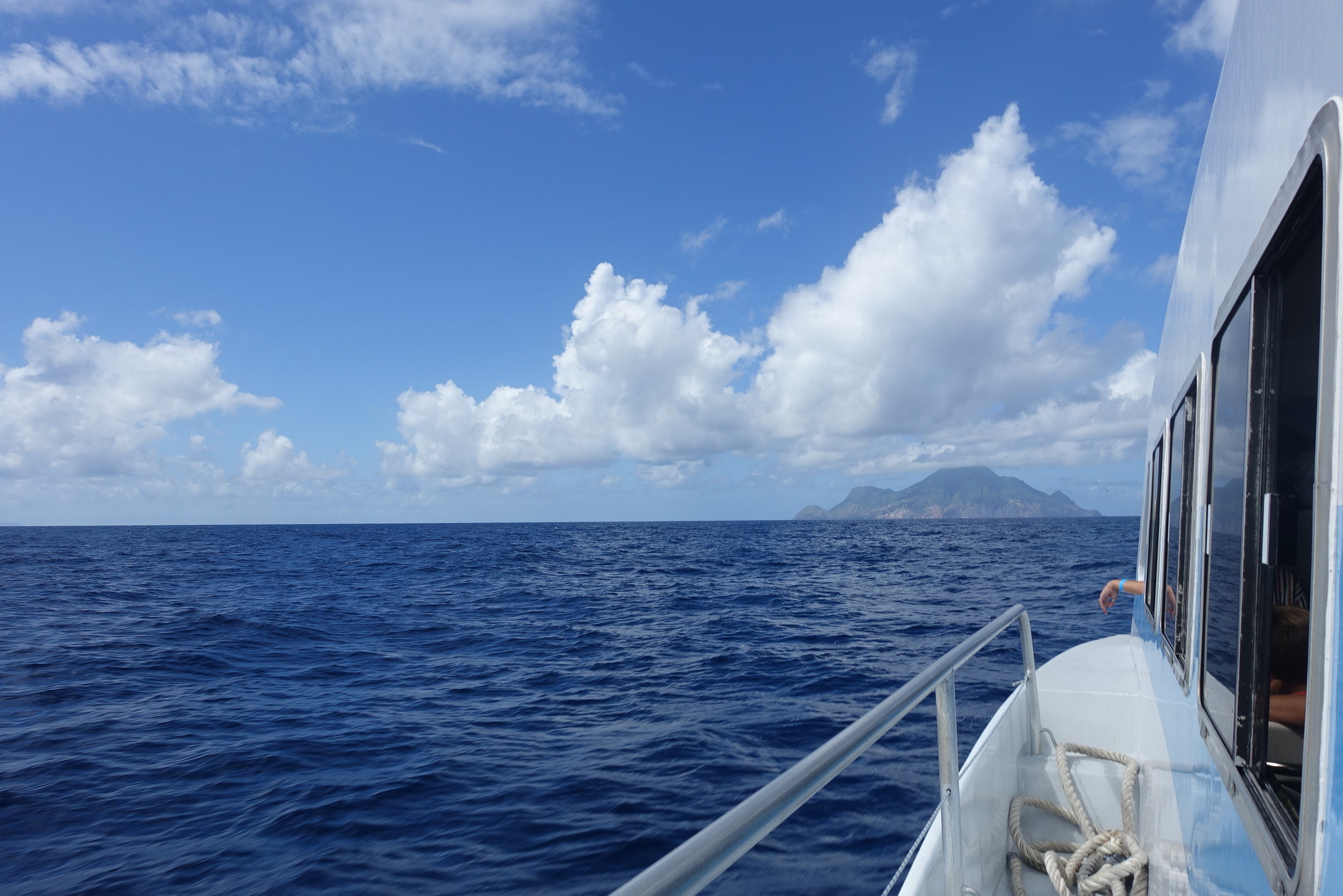
saba ahoy
Arriving in Saba you still need to go through immigration, despite coming from one Dutch state to another part of the Netherlands. Not sure why, but make sure you bring your passport.
Saba has two main settlements: The Bottom and Windwardside. The start of the track is in Windwardside so we caught a taxi from the dock the 5 plus kms, all of it on Saba's one road, called The Road, which is very steep and narrow. It's not for walking.

the road
The Road passes through the capital, The Bottom wending its way to Windwardside. Virtually all the buildings on the island are built in the same style, with the same whitewashed walls and red roofs. The townships combined with the dramatic precipitous green jungle clad backdrop and the distant blue of the ocean below gives Saba a look and feel like no other place in the Caribbean, or anywhere else for that matter. It looks great.
We checked our bags into our accommodation, the delightful and reasonably priced El Momo Cottages, which sits just up on Booby Hill behind Windwardside.

It was a ten minute walk from there to the start of the trek. There is the small Saba Treking Shop near the beginning and they can provide maps and other information.
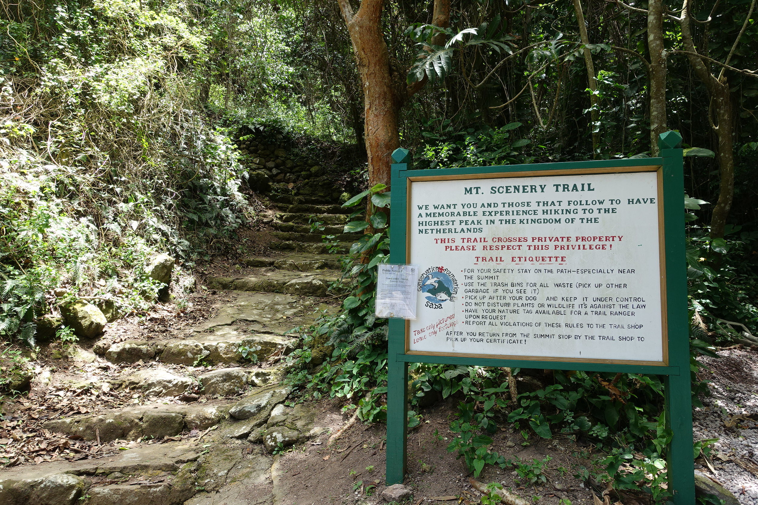
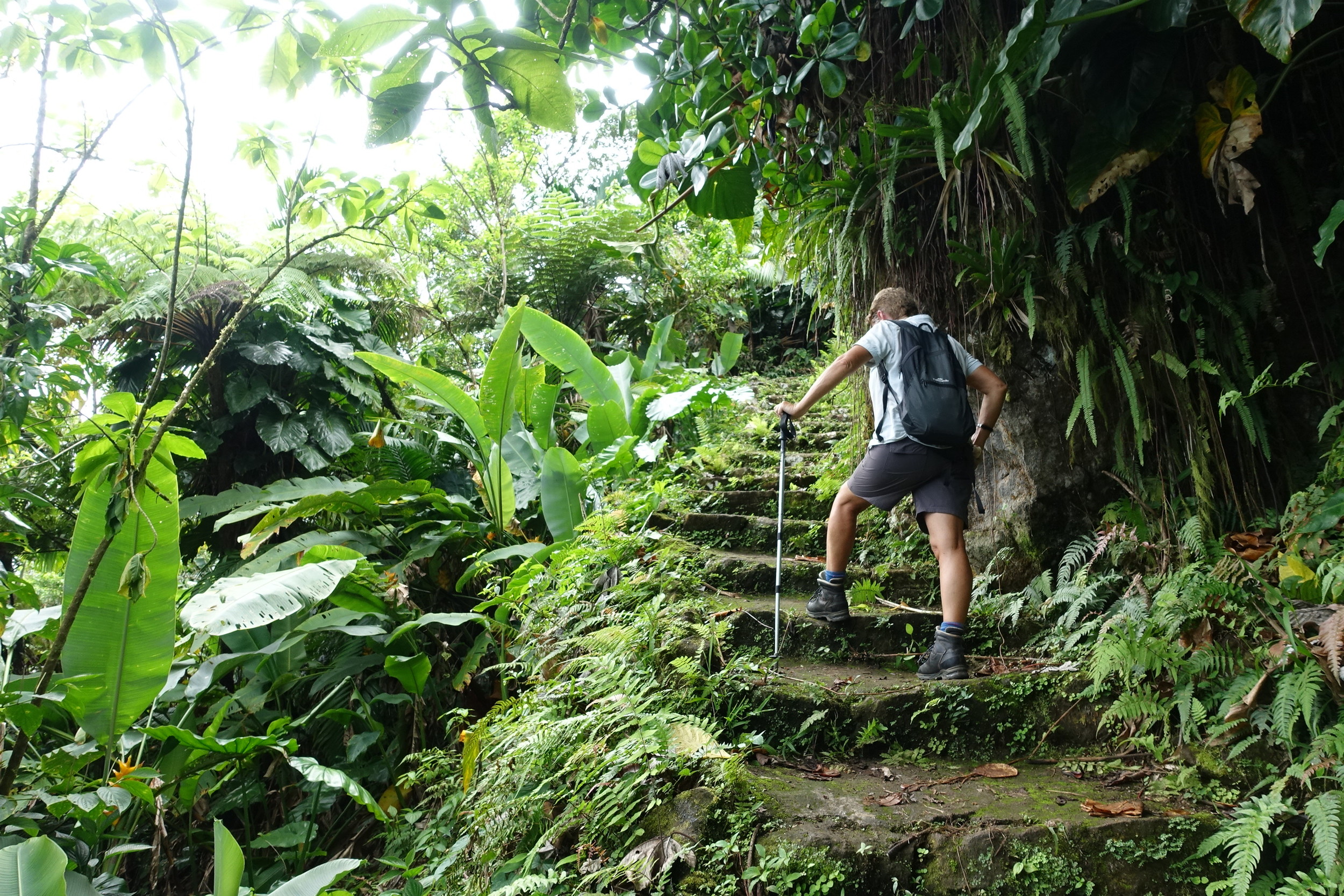
The sign said 1.5 hours each way. It also said 1064 steps! No need for a trip to the gym today.

yes, 1064 steps!
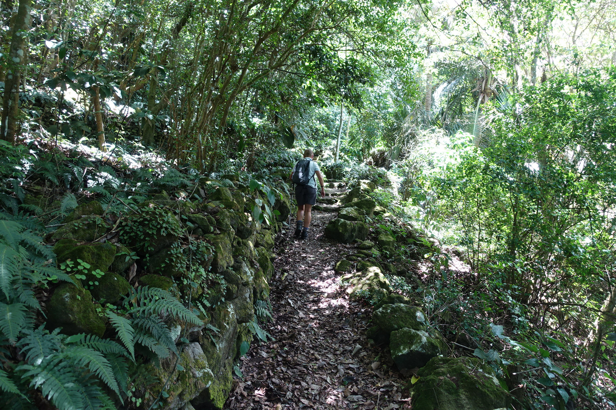
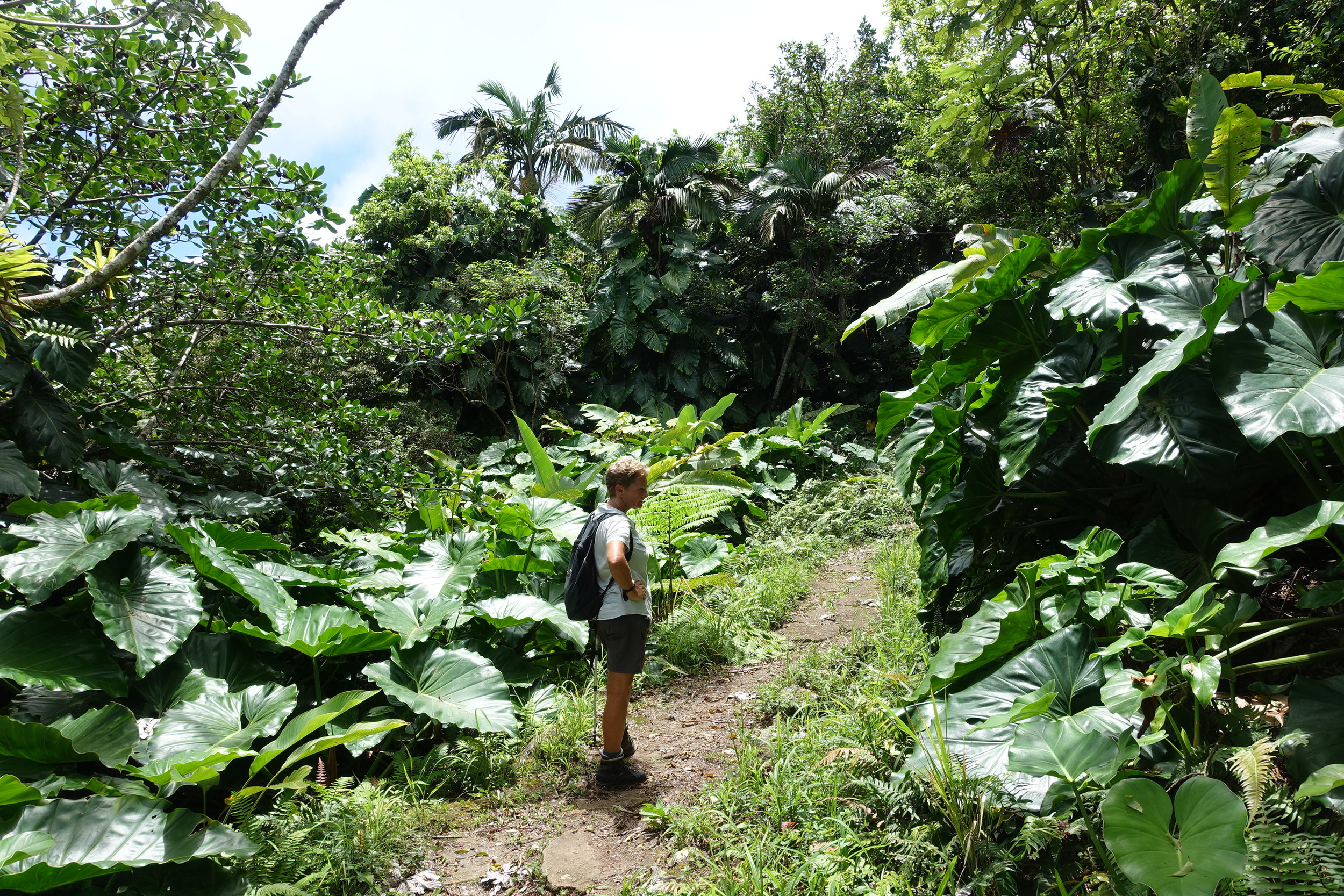
The trek/climb turned out to be a solid workout, but quite stunning as you ascend through thick rainforest with the biggest elephant ear leaves you'll ever see. We also saw lizards, various birds, including a couple of hummingbirds, two small, shy snakes, and some feral chickens.
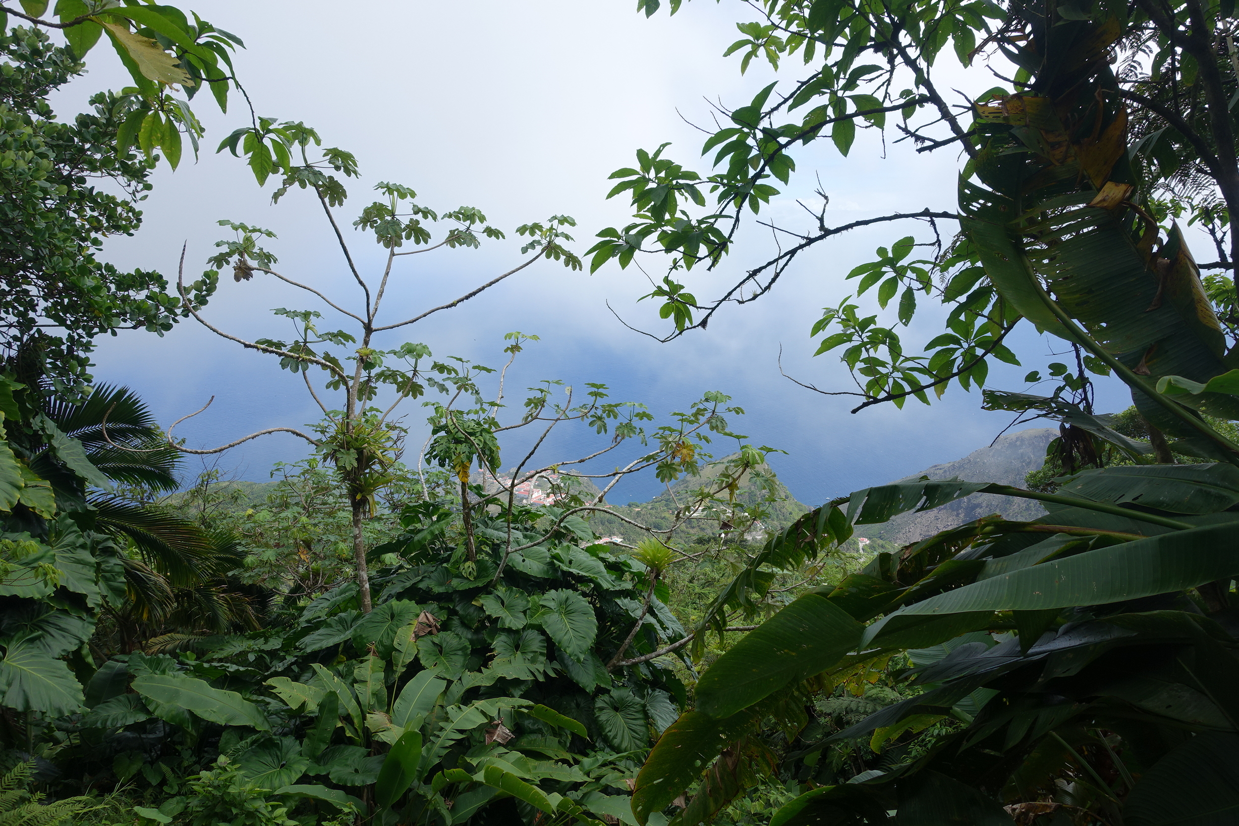
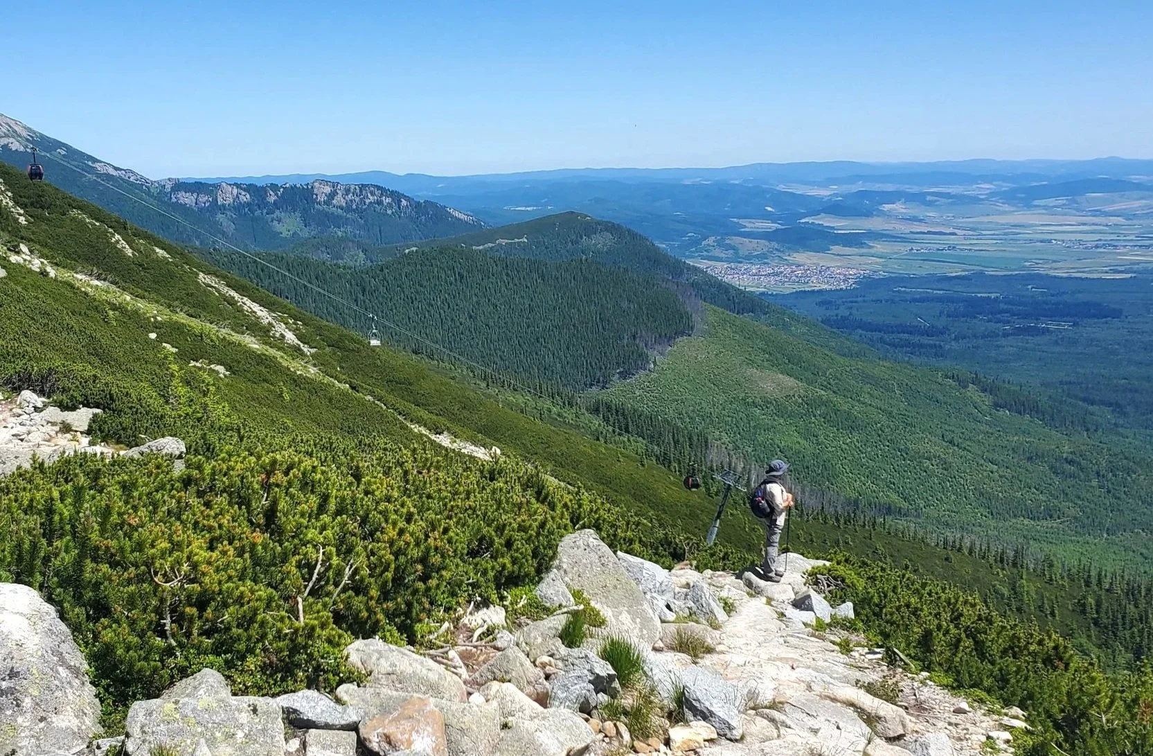
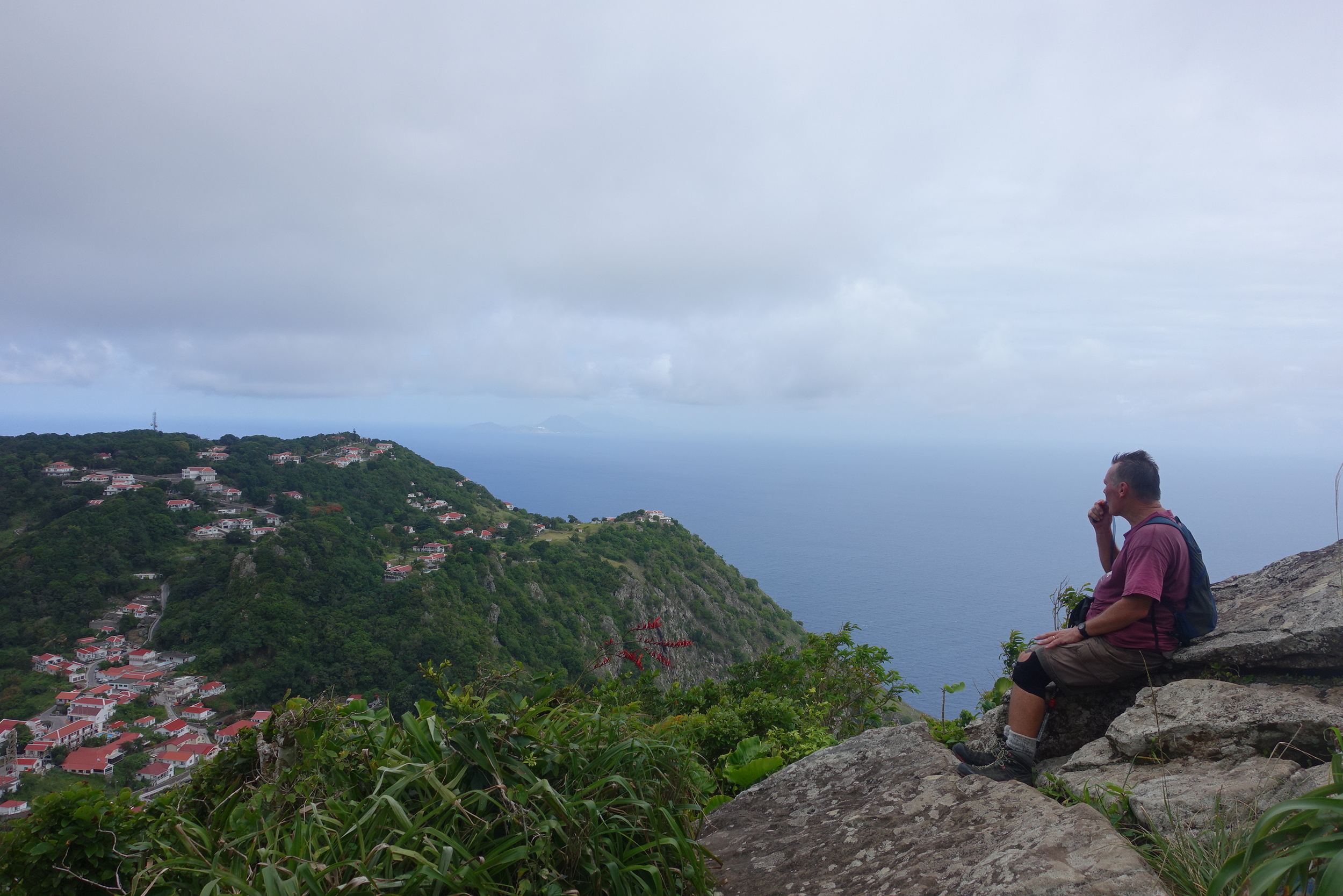
At last the summit was reached and it is marked by a plaque in Dutch that says that it is the highest point in the Netherlands. At 887m it's certainly much higher than anything in the European bit of the Netherlands.

The clouds were covering the very top, but kindly parted for a few minutes so we could take in the spectacular view.

the view from the top of mount scenery
The trip down did our dodgy knees no favours, but we weren't complaining, it'd been well worth it.

Near to the bottom there is a small side trail to Maskehorne Hill. Our El Momo host had advised us to take it and it was definitely a good move.
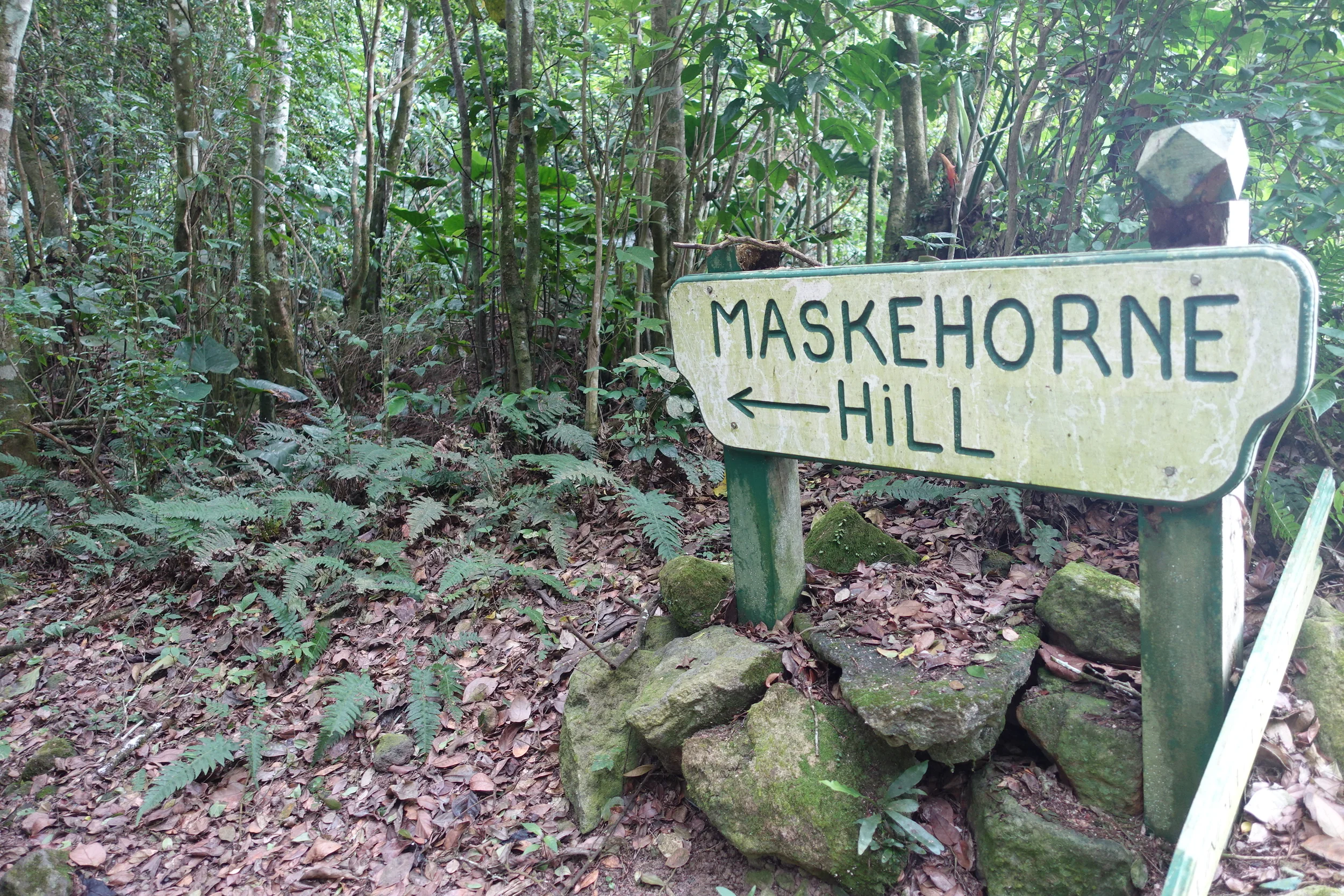
It was only 5 minutes off the main track but gave further excellent views of Windwardside and surrounds.
Back down, we calculated that we'd taken around 1.25 hours each way, so a bit better than the sign had predicted. But we were glad to be down. It was a typical, hot, sweaty Caribbean day and we'd perspired gallons, so a dip in the pool at El Momo and a cold beer was a welcome end to the trek.
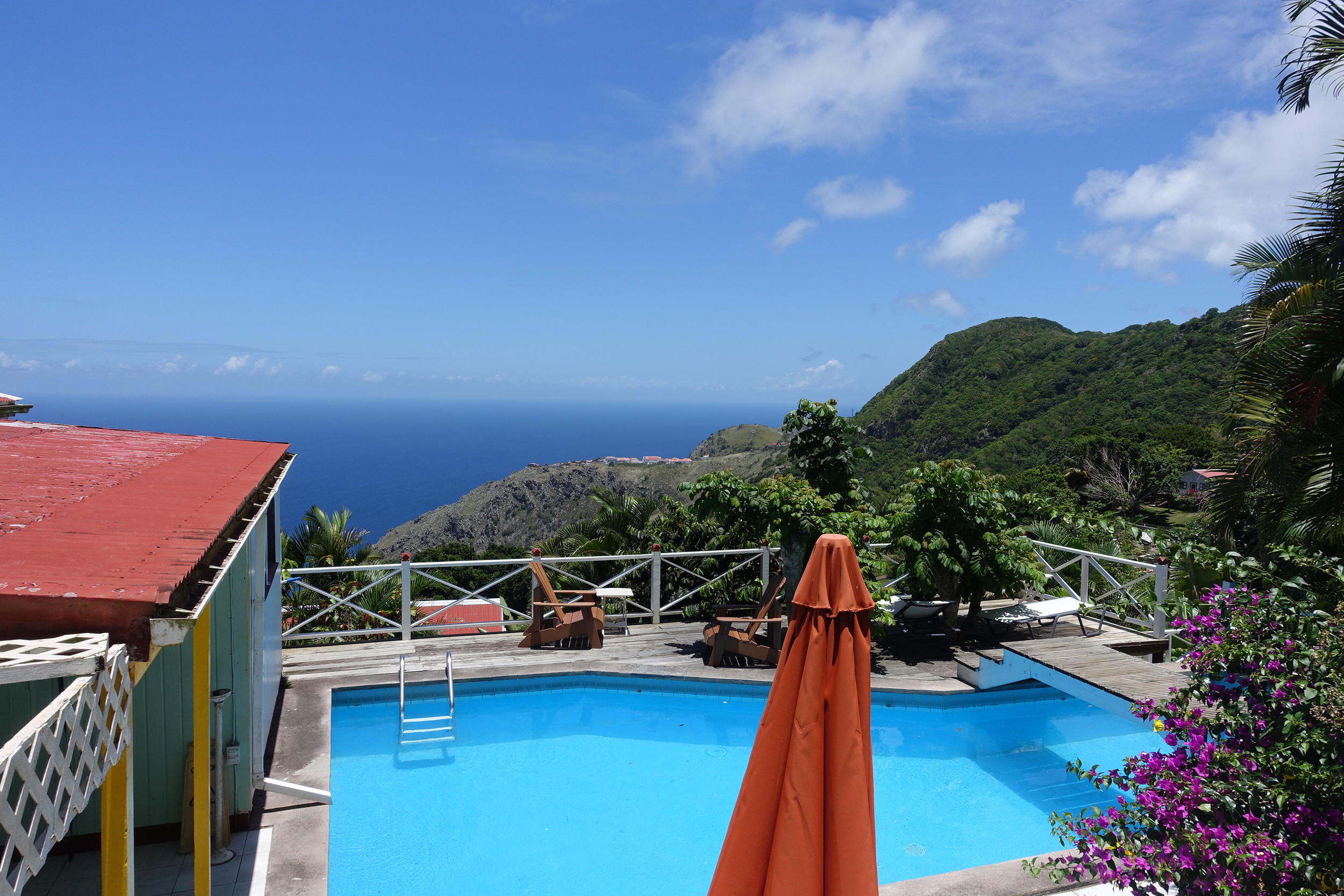
view from the pool deck at el momo - not bad
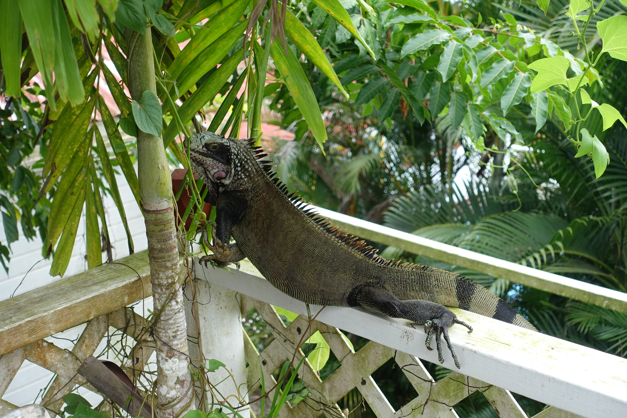
Not to mention the largish iguana on the deck in front of our cabin.
Next morning it was up early for the 7.00am Saturday morning Dawn II ferry. This operates between Saba and Philipsburg, the capital of Sint Maarten on Tuesdays, Thursdays and Saturdays and is also $US55 one way.

DAWN ii
It was a bit of a rough crossing back with some storms causing some swell, but we made it in around 2 hours, safely into Philipsburg.

the promenade in philipsburg
It was a whirlwind trip to Saba but certainly worth the effort.
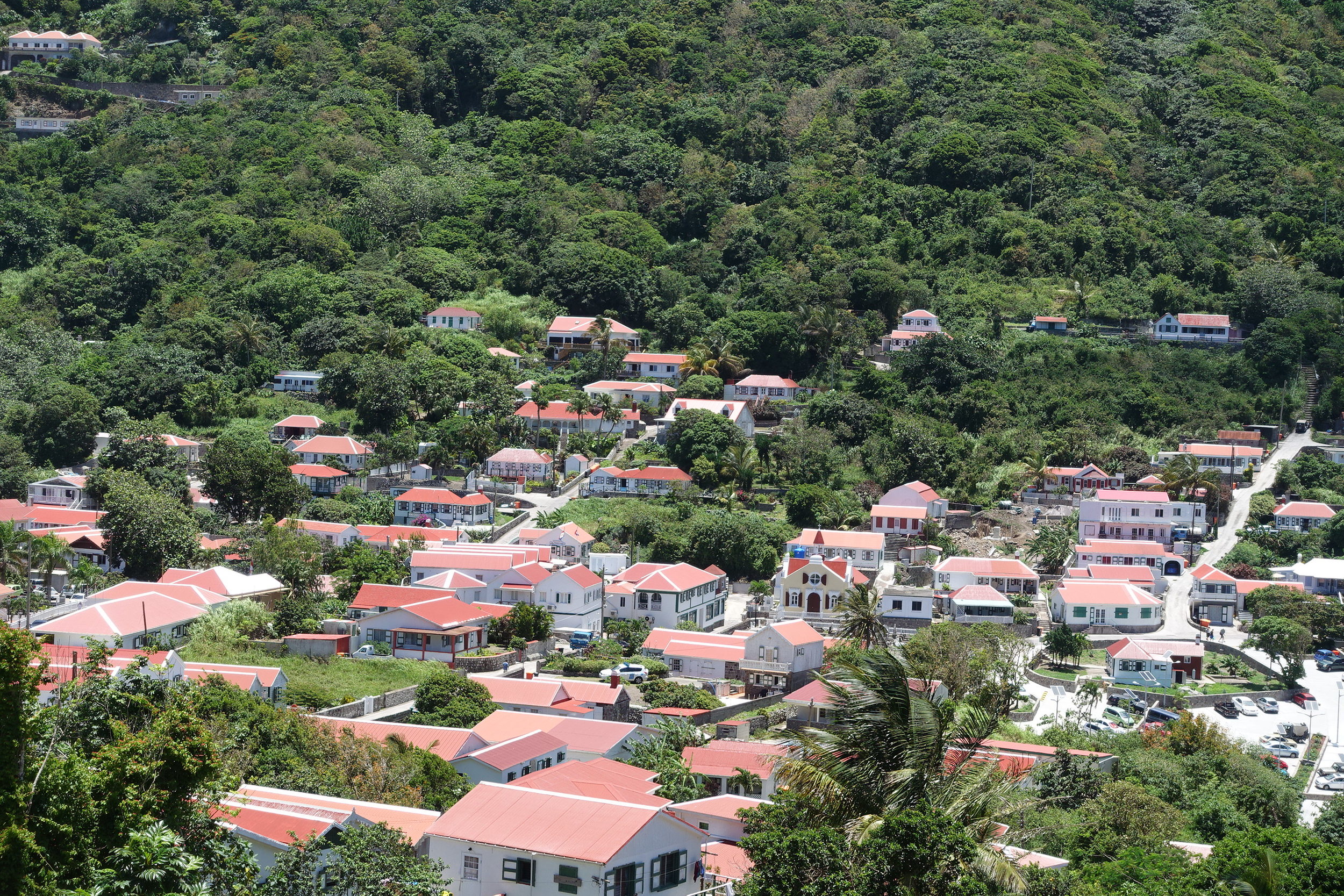
windwardside