Black Glen Falls Walk
/
Introduction
Black Glen Falls is a series of five small waterfalls on the Lachlan River in southeast Tasmania. It sits inside Wellington Park, the reserve that covers most of kunanyi/Mt Wellington. The walk to the falls and back from where most people park their car is a 4 kilometre return trip. Despite being less than an hour’s drive from home in Hobart I’d never been there before, so with regular walking companion Graeme, we went to check it out.

the lachlan river
Getting Started
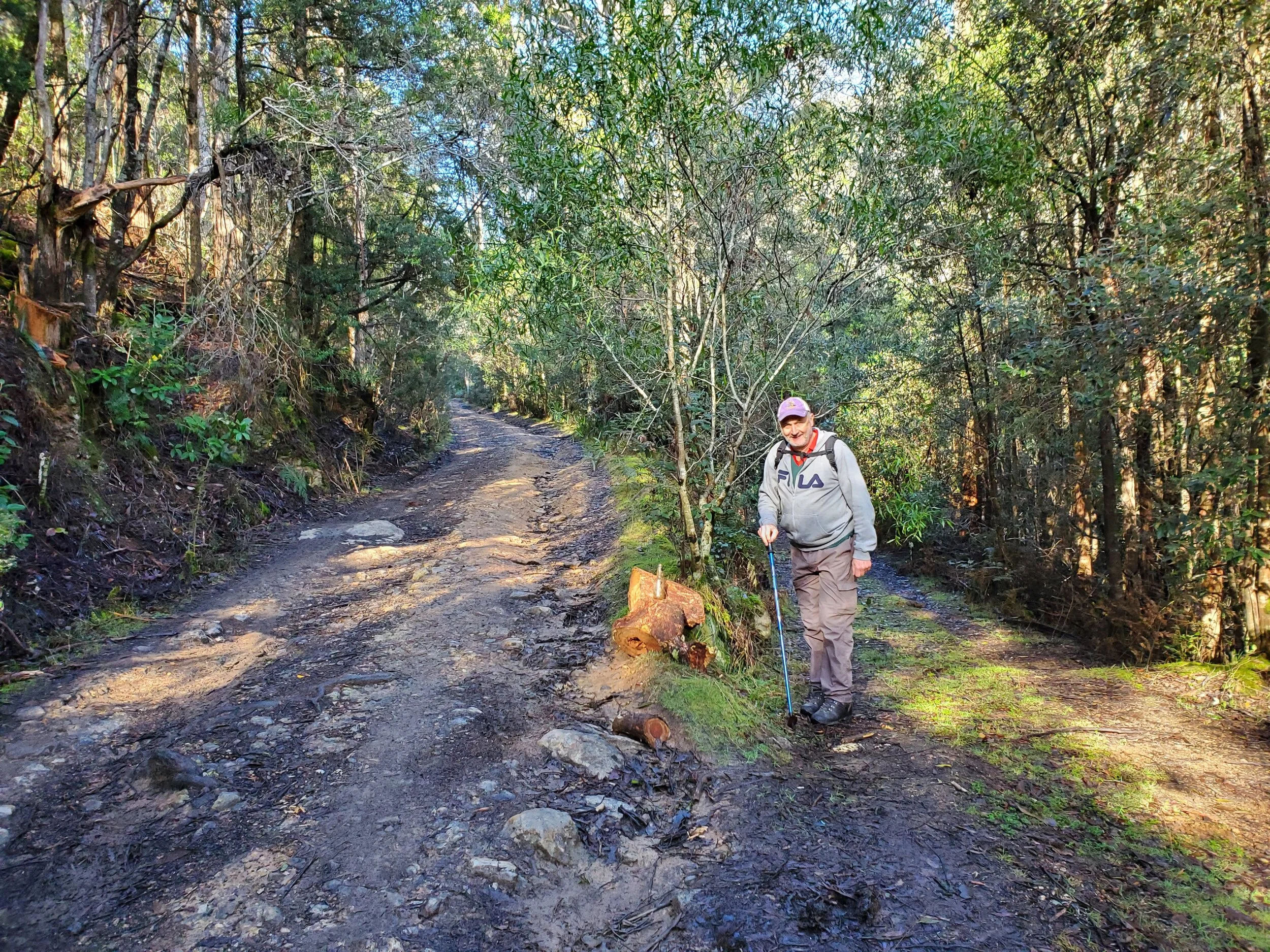
Driving from Hobart we headed for the town of New Norfolk, 40 minutes away, then to the nearby village of Lachlan. We followed Lachlan Road until a fork where we went to the left up Timbs Road. We crossed a small bridge and then parked the car around 200 metres on at a point where a dirt road joined Timbs Road on the left hand side. We decided to stop here as we’d read that the remaining 900 metres of the road was only suitable for 4 wheel drive vehicles.

It was a pleasant, clear winter’s day with little wind, so good conditions for a walk. Continuing along the road it soon split, with the lower arm following the river and the upper arm ascending the ridge. The upper arm is the correct route.
take the high road not the low road
It turned out that the road would be easily navigated by a 4WD, but I was glad that we didn’t attempt it in our all-wheel drive as clearance may have been problematic in a couple of spots. The road ends in a clearing beside the Lachlan River adjacent to some interesting rapids. This is the start of the walk proper.

small rapids at the start of the walk proper
The Walk
Our walk notes (“More Family Walks Around Hobart”, J. Hardy and B. Elson, 1994, p46 – 47) told us that we needed to cross the river from the left to right bank at this point, walk 50 metres, then cross back, with the track then continuing on the left bank all the way to the falls. There was a fair bit of water coming down the river and the rock banks were extremely slippery. If it’d been summer, we would’ve taken our boots off and crossed, but on a cold, winter’s day the last thing we wanted was to end up in the drink.

The stones on the lower right of this shot are the usual crossing point
We’d read on-line that some walkers faced with the same dilemma had been able to scramble up the slope to the left and find a rough trail along the ridge above the river and follow that until they could rejoin the main track. We gave this a go and found it to be quite doable.

graeme ascending the hill on the left side of the river
Though, a word of caution, once away from the river you are on private land so it’s best to stay as close to the river as possible until the track is rejoined. This is only for a hundred metres or so.

follow this short, rough track if you need to avoid crossing and recrossing the river
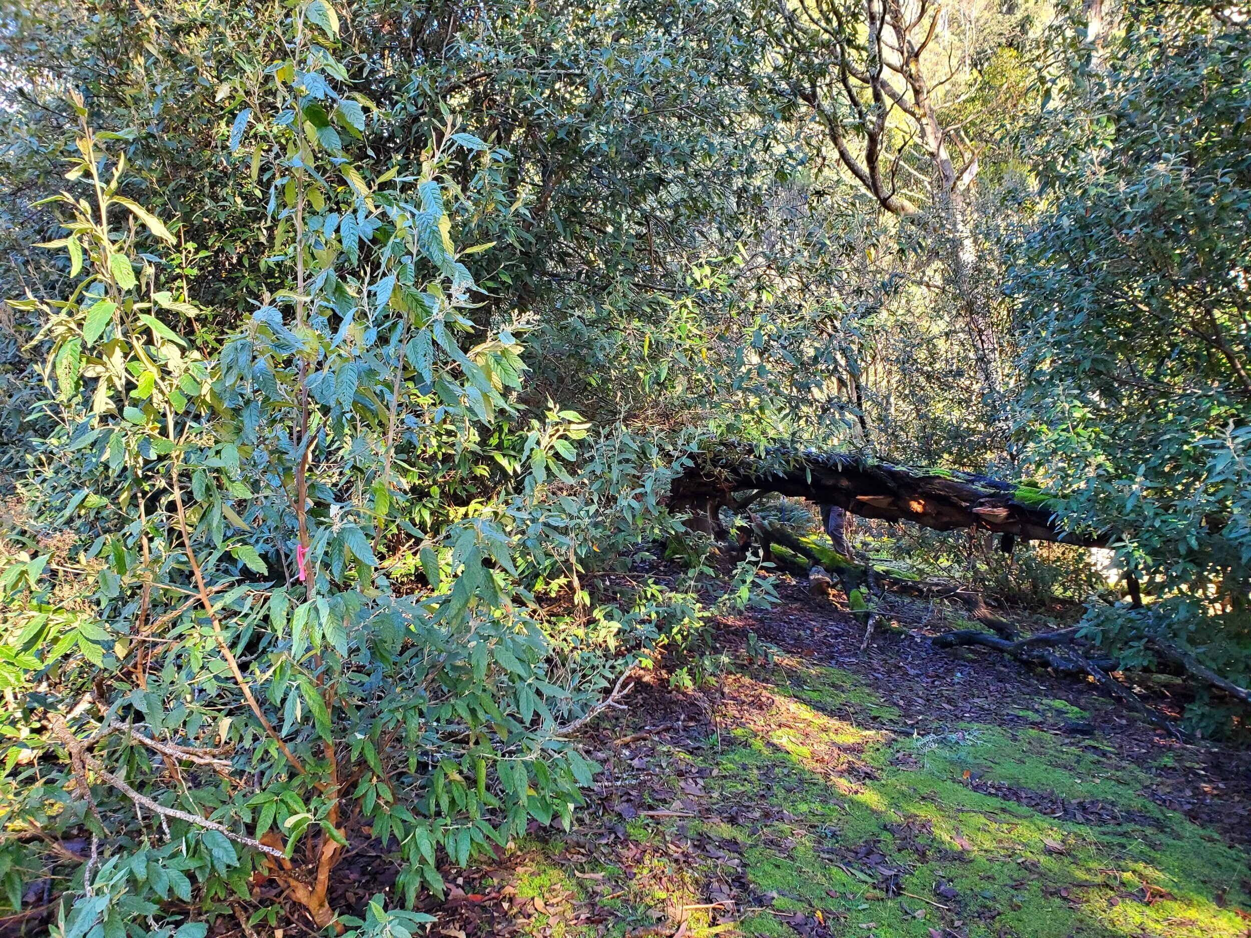
Once back down by the river we found some helpful pink tape and a rough trail.

note pink tape on tree on left side of track
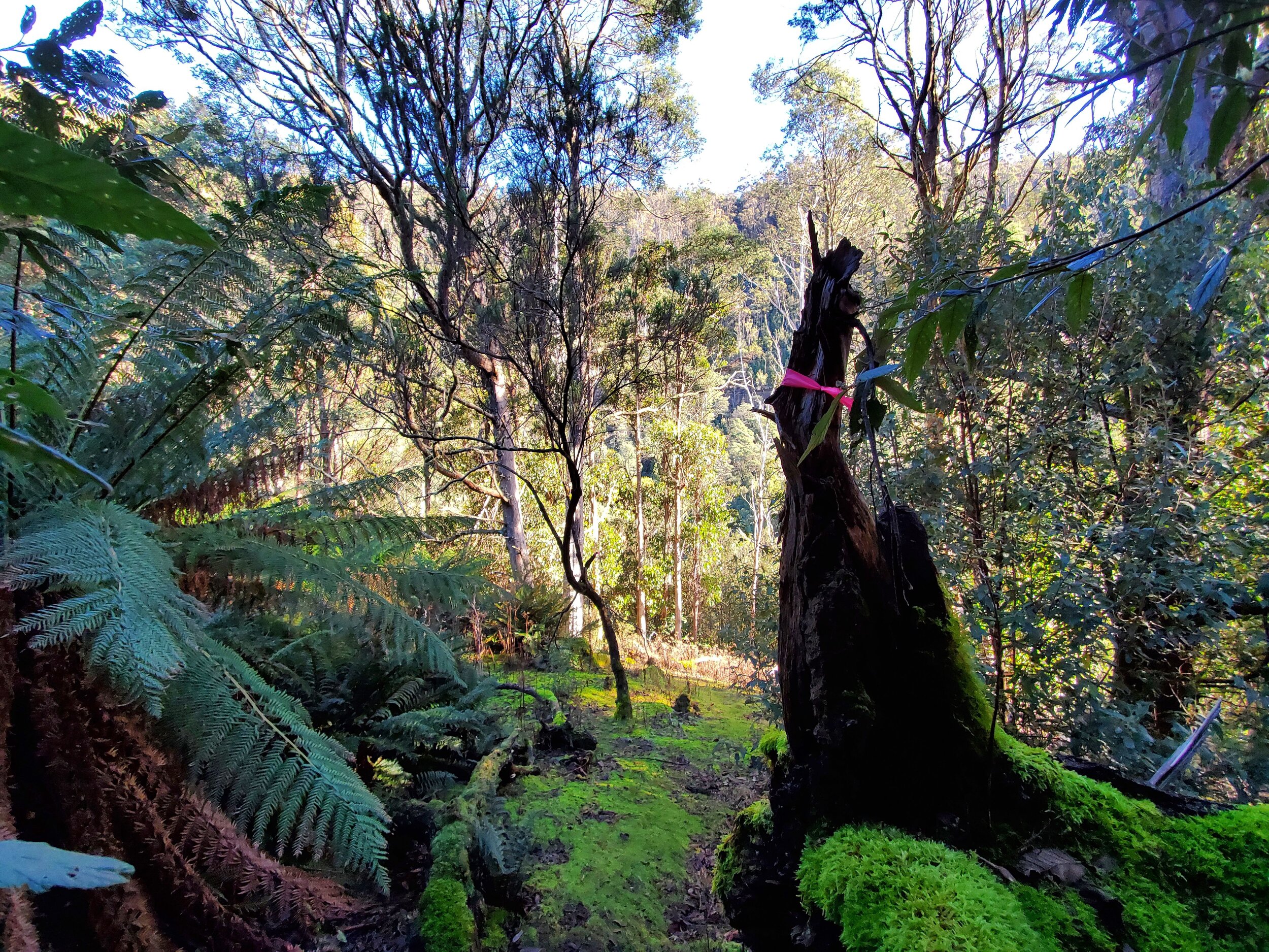
We followed this for a short distance and then found the track leading up the slope away from the river. Pink tape and a thin rope to aid ascent gave some reassurance that we were going the right way.

Eventually, we came across an old logging trail that continued to rise up the ridge. This is the correct trail. It follows the valley created by the river.

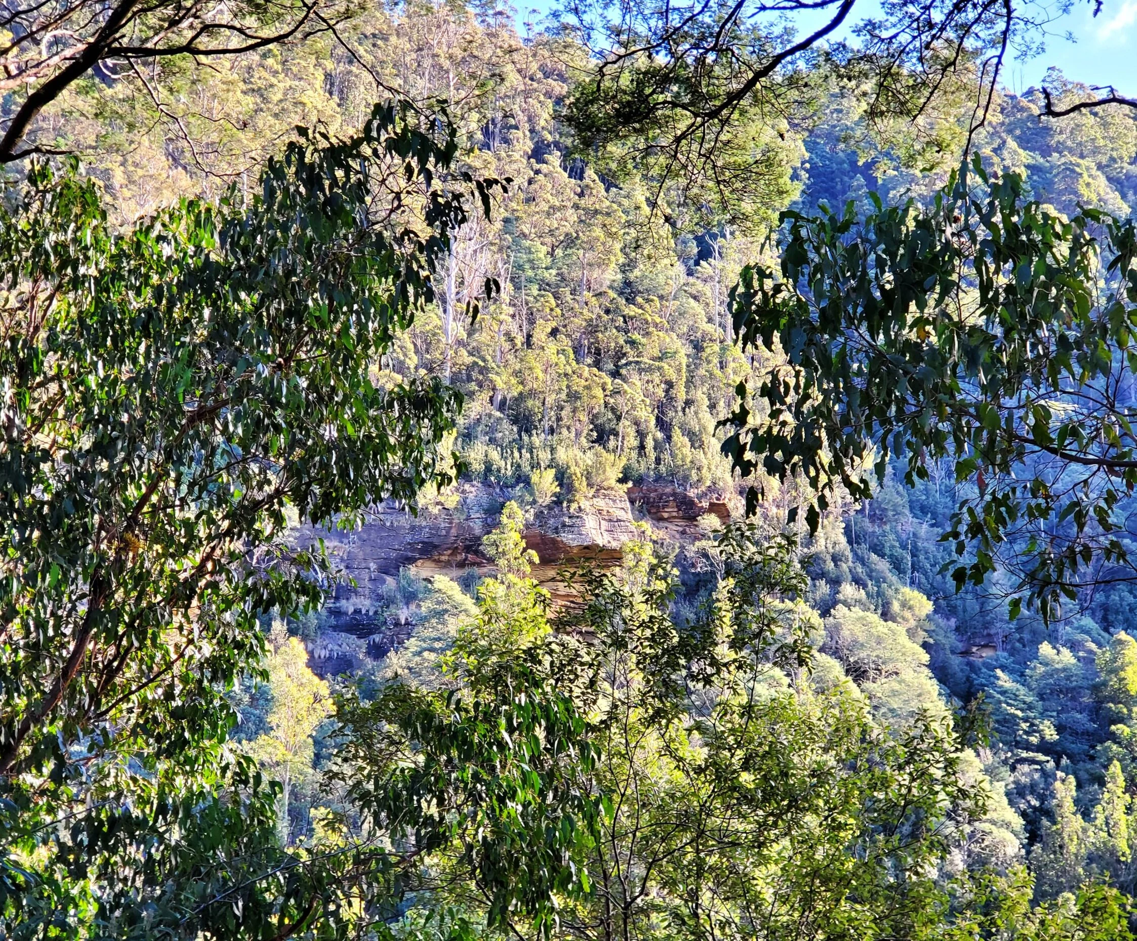
We got some good views of the other side of the escarpment once we had climbed a bit.
After 500 metres from the start of the walk we came to a clearing.

the clearing. this is the view looking back after we’d crossed it.
Continuing on, and veering to the right side of the clearing, we picked up the pink tape again.
The track here was quite clear and started to descend towards the river.

We joined the river at the point where there is one of the waterfalls.

Below these falls were several others, falling off steeply 60 metres into the valley.

It was a bit tricky to get to the lower level falls from here without undertaking a risky, slippery climb. So, we just got a few shots from above.

We weren’t sure which of the five falls were the ones we’d come across first up. Were these the highest falls, number five, as we seemed to be near the highest point of the ridge? As it turned out, just around the corner and upriver, was a slightly bigger falls, which we were pretty sure was the top falls of the five.

the top falls
The spot where the track ended beside the two top falls was a pleasant location for a break. We took the opportunity for a rest and to review our map to establish exactly where we were.

Conclusion
We retraced our steps back to the car, now much more confident about our whereabouts and the track’s route.

view of the lachlan river as we neared the rapids on our return trip
We discovered upon returning that the old logging trail led directly to the river. On our way in we’d apparently missed a turn to the left at some point early on, hence then reaching the point where we needed to climb the ridge using the makeshift rope. No bother, we still got there.

Overall, a good little walk to some nice falls on a not overly visited track in the western section of Wellington Park. We were glad we’d bothered.
Ken