Waratah - A Tale of Three Waterfalls
/
waratah falls
Introduction
Waratah is a small town (population c 250) in North West Tasmania, 62 kms south of Burnie. The town was built to support a tin mine at nearby Mt Bischoff. It was constructed on top of a waterfall so that the diverted water could be used for mining operations.

philosopher’s falls
On my recent first-time visit to Waratah, with my friend Graeme, I was keen to see the town waterfall. While there we took the opportunity to visit two other waterfalls in the area and a couple of other sites of interest.

philosopher’s falls track
Waratah sits within the Tarkine region. We used the Tarkine Trails book by the Bob Brown Foundation as our guide to walks in this area.
Waratah Falls
As stated, the town literally sits on top of the falls.

The park and picnic spot adjacent to the town’s historic Bischoff Hotel is a good place to get a clear view of the falls. There is also a short walk to the base of the falls.

This is the headwaters of the Arthur River, the Tarkine’s wildest river.

looking downstream from the falls at the valley the waratah river travels through
The reservoir that feeds the falls has a scenic platypus viewing spot, complete with comfortable bench seats, in case you need to wait for a while before a platypus puts in an appearance.

Netherby Creek Falls
This section should be called “how not to get to Netherby Creek Falls”.
The Tarkine Trails book says that this is a 1 – 2 hr return walk. The walk involves a trudge across buttongrass with only an initial rough piece of track at the beginning of the walk. The road into the start is a bumpy dirt track not suited to 2WD vehicles. After following the book’s instructions, we were approaching the point where we expected to begin the walk when, to our surprise, we came across a vehicle which had pulled over. The two occupants confirmed to us that this was where the walk began.

We parked and set out to follow the other walkers who were now striding out across the buttongrass several hundred metres beyond us.

The lack of a track made going a bit tricky. We eventually found our way down to Netherby Creek which feeds the falls and located a shallow crossing point emulating the other walkers.

At this stage we were a little suspicious of the route being taken as there was no mention of the creek crossing in the Tarkine Trails guide.

After about 45 minutes we found ourselves at the top of the falls. We could hear the voices of the walkers in the narrow valley below the falls. But the whole area was steep and covered in thick bush. It was impossible to get a good view of the falls.

the top of the falls
We could only catch glimpses of them through the dense tea tree scrub.

a glimpse of the falls through the scrub
After thoroughly investigating options for getting down to the base of the falls we agreed that it was too risky. We couldn’t work out how the others had done it. We abandoned our efforts and returned to our car via the same route. We needed to drive forward a few hundred metres to find a spot to turn the car around, and low and behold, we found the beginnings of a rough track. This was not only useful for doing a three point turn but was clearly where we should have started the walk from. We re-examined the rudimentary guidebook map for the walk and realised that we had walked on the wrong side of the creek and hence arrived at the wrong side of the falls, the side with the more difficult terrain.

a pretty stream beside the road to and from netherby creek falls
Oh well we’ll know better next time.
Philosopher’s Falls
The walk to these falls takes around 1.5 hrs return. It is easily accessed from Waratah on good roads and is well signposted and on a well maintained track (all in sharp contrast to the Netherby Creek Falls walk). It is named after James “Philosopher” Smith who discovered the tin deposits which led to the founding of the town of Waratah.

The track initially winds through pleasant myrtle forest.

A small bridge takes you across the Arthur River.

It follows an old mining race for much of the track. This was built by hand over a hundred years ago to divert water to the tin mines.

Interpretation boards provide some interesting background information.

Eventually a steep staircase takes you down to a viewing platform.

And a great view of the falls.

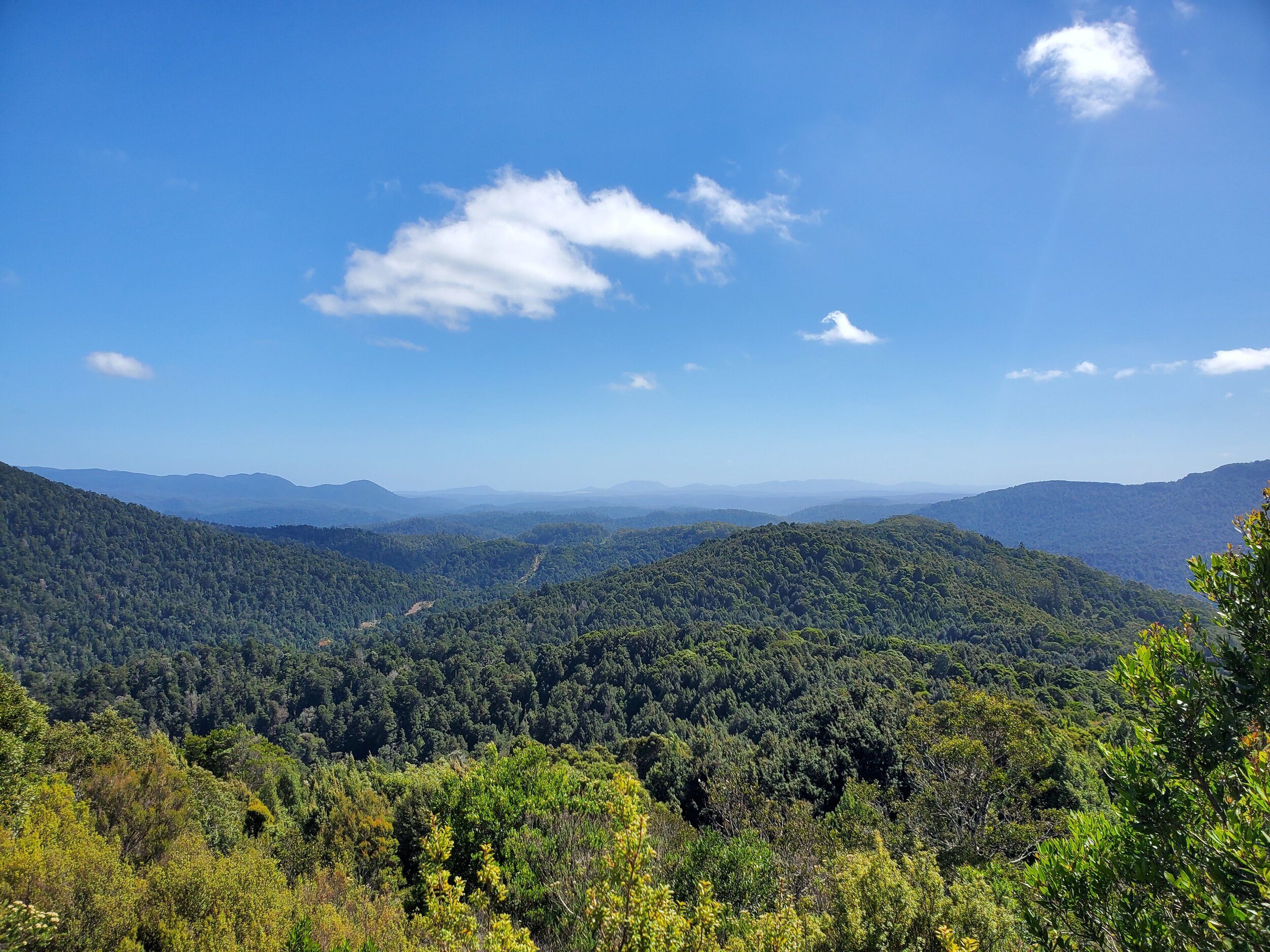
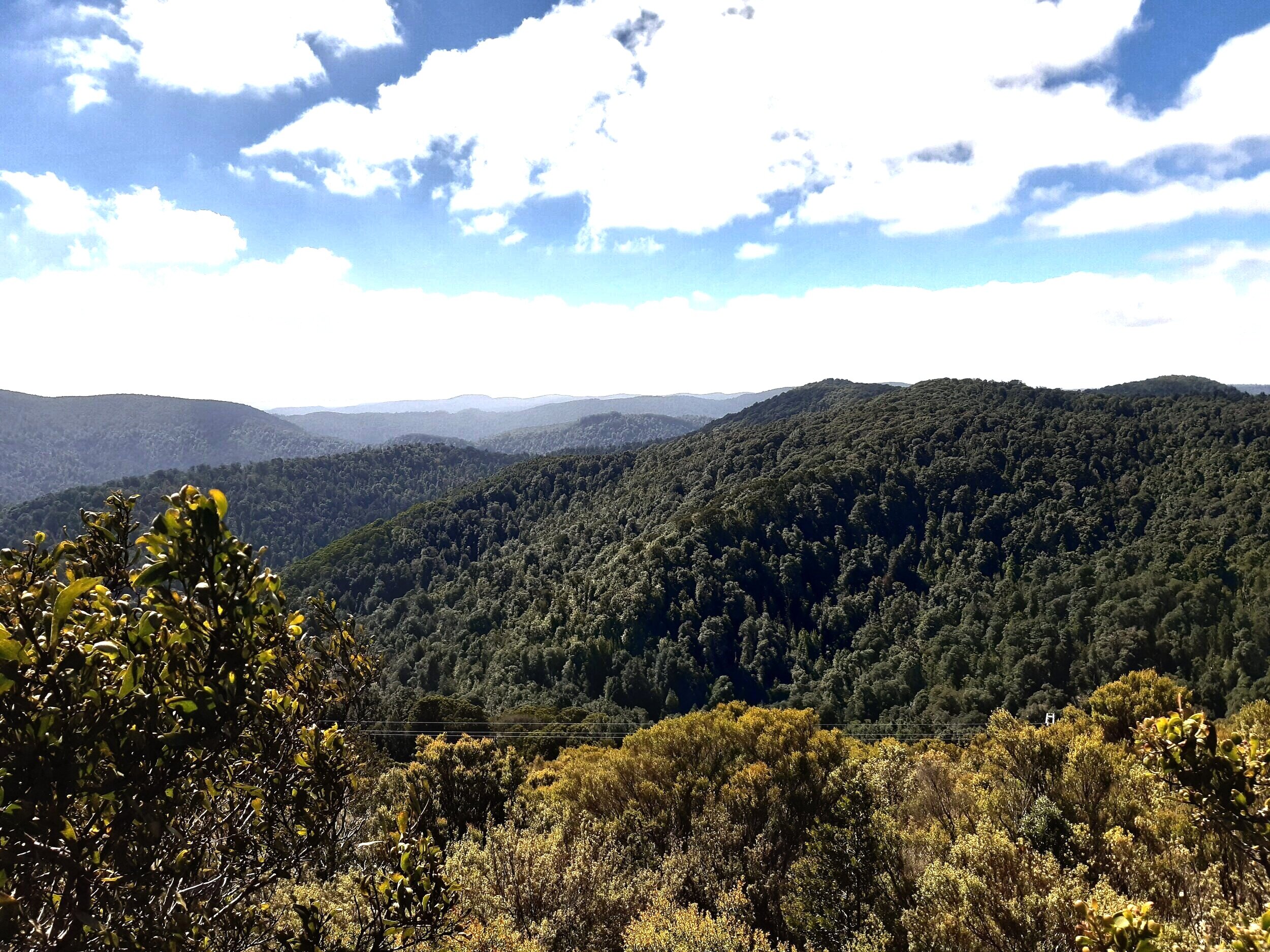
After the falls we headed to nearby Whyte Hills Lookout to take in the vista.

Conclusion
The three waterfalls are just a few of the possibilities for walks in and around the pretty little town of Waratah. If you’re into history the local museum is a good option.

waratah museum
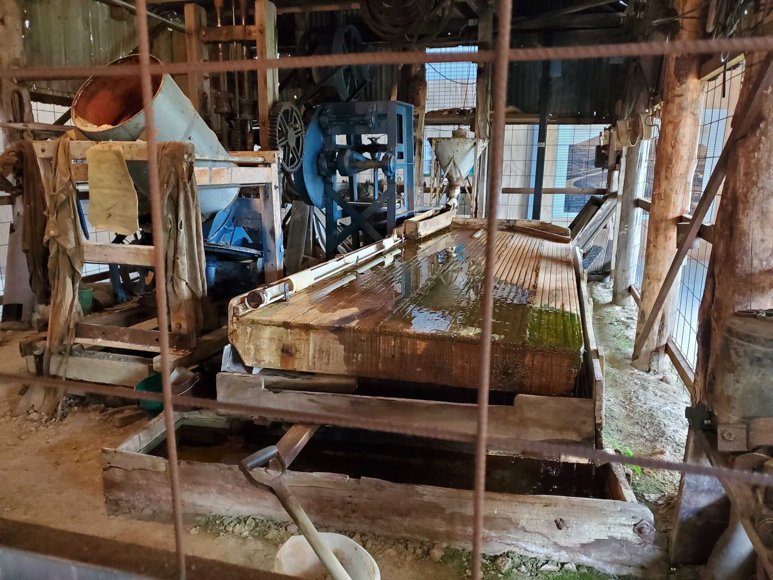
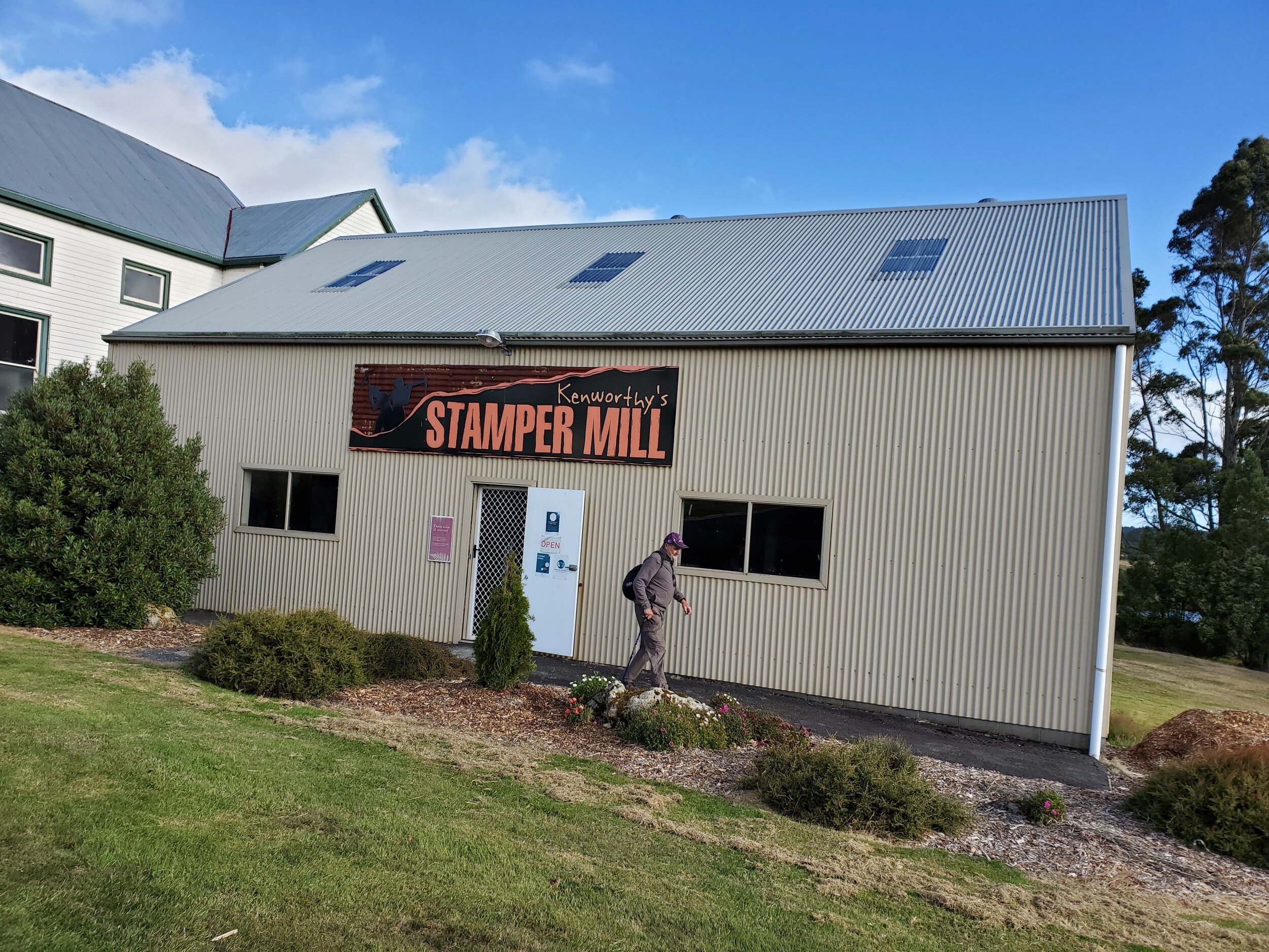
As is Dudley Kenworthy’s Tin Stamper Battery across the road from the museum. It provides details of the tin mining process and the history of the town.
We also popped out to the old Waratah Dam, which is currently at the centre of a debate over whether it should be retained (as some locals want) or decommissioned, as it is no longer needed for the town’s water supply.

There’s plenty to see and do for a few days in Waratah and environs. And the counter meals at the Bischoff Hotel are very good.

bischoff hotel
Worth a visit.
Ken

Thanks to Graeme Byrd for the use of some of his photos.