Adelaide to Alice - A Taste of the Outback
/
Introduction
We recently did a 10 day trip from Adelaide (South Australia) to Alice Springs (Northern Territory). It was an opportunity to visit the natural wonders of Uluru and Kata Tjuta (the Olgas), and to experience a little bit of the Australian Outback. Its vastness means that you can spend months exploring it and barely scratch the surface. And indeed, we saw many people in extensively kitted out four wheel drive vehicles who were doing this.

uluru
But if you have limited time, don’t own a 4x4, and just want a taste of the outback, this post will hopefully give you some good ideas.

We’ve written it in a diary style and provided distance travelled between locations which can be useful when planning such a trip.

kata tjuta
We travelled with our sons, Alex and Zac, and Zac’s partner Emma. Accommodation was a mixture of camping and hotels/motels.

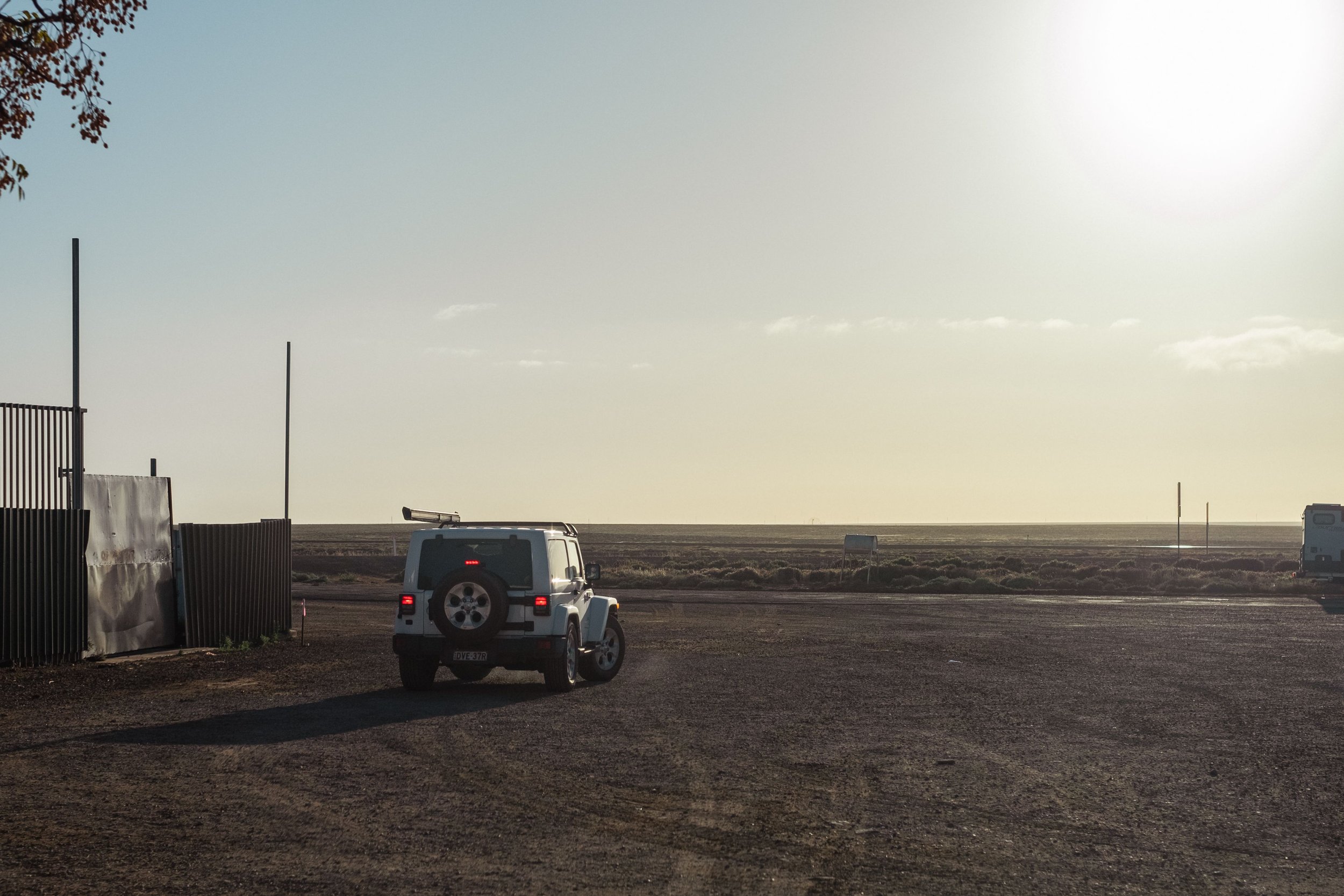
Day 1: Adelaide to Woomera
The trip started from Adelaide. The distance on day 1 to Woomera was 490 kms. We left early to ensure that we’d arrive at Woomera with sufficient time to do a bit of exploring.
Why Woomera? Well, we were curious to see the town made famous for being the secretive site for British rocket and nuclear tests which commenced in 1947. The town today is still a test site, now operated by the Australian Department of Defence.

It was strangely empty when we arrived mid-afternoon.

We intended to visit the museum, but it was closed. Next was the Heritage and Visitor Information Centre Museum. Also closed. This just left the Lions Club Aircraft and Missile Park.

lions club aircraft and missile park
Having run out of options we lingered around the park for a good while, checking out the exhibits, before retreating to our cabins at Spuds Roadhouse at Pimba, 6 kms from Woomera on the Stuart Highway.

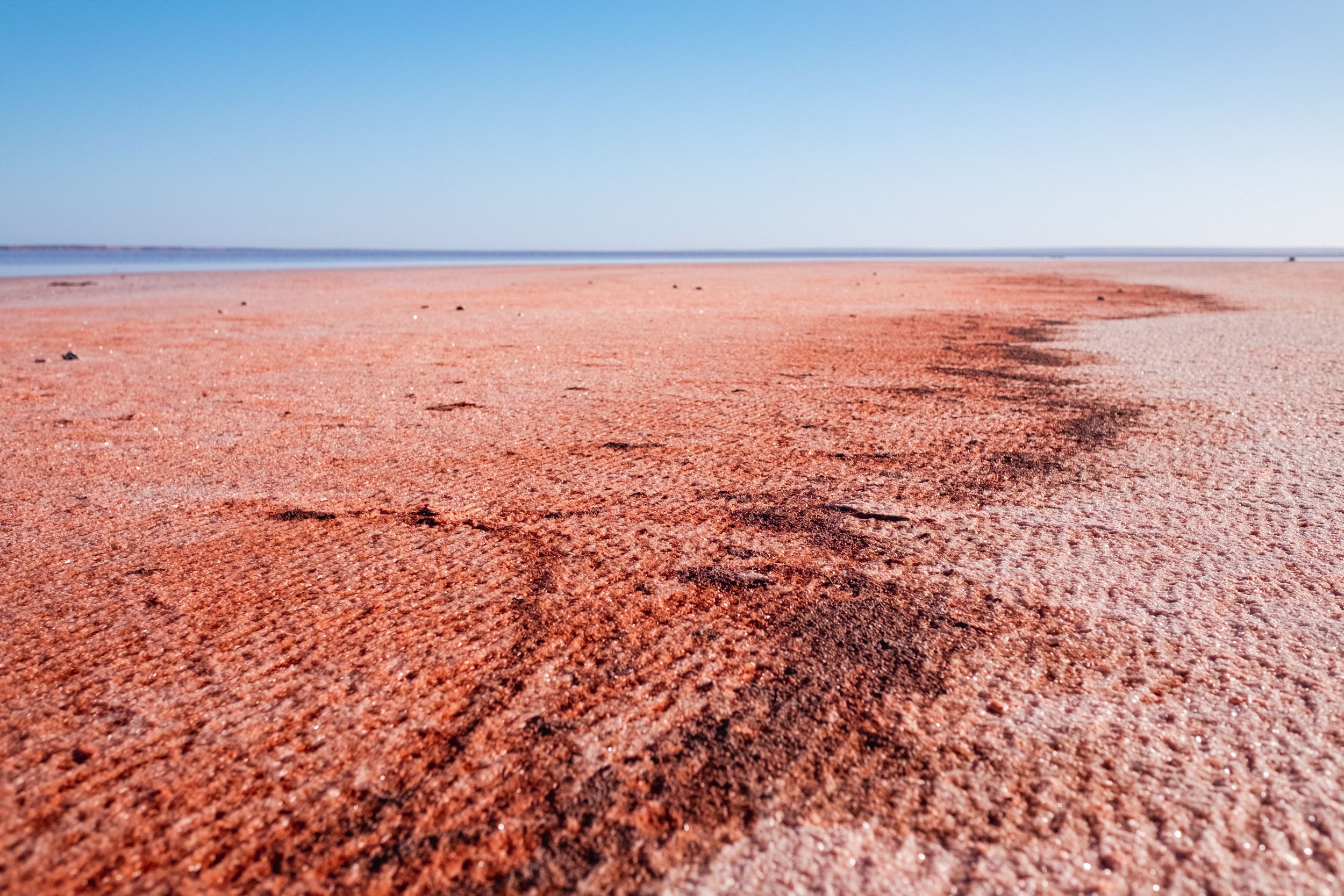
Day 2: Pimba to Coober Pedy
If you google “Things to do in Woomera”, number 1 is not any of the missile related possibilities, but “Visit Lake Hart”. This very salty lake is in fact on the Stuart Highway 42 kms north of Pimba.

walking from the car park to the lake shore
There was water in the lake, so we stopped to have a look.

The train line between Adelaide and Darwin passes the lake. This is the line taken by the famous Ghan train.

We continued on to the opal mining town of Coober Pedy, covering the 368 kms from Pimba by lunchtime. Coober Pedy is not only famous for opals, but also for much of its population living underground.

Our first stop was the Old Timers Mine.

The mine was originally dug out and mined for opal in 1916. It was later incorporated into an underground home. Yes, people actually lived here back in the day.

We took a self-guided tour.

This was a good way to explore it all at our own pace.

It would have been a hard way to make a living, always hoping for the big strike, that only a few ever achieved.

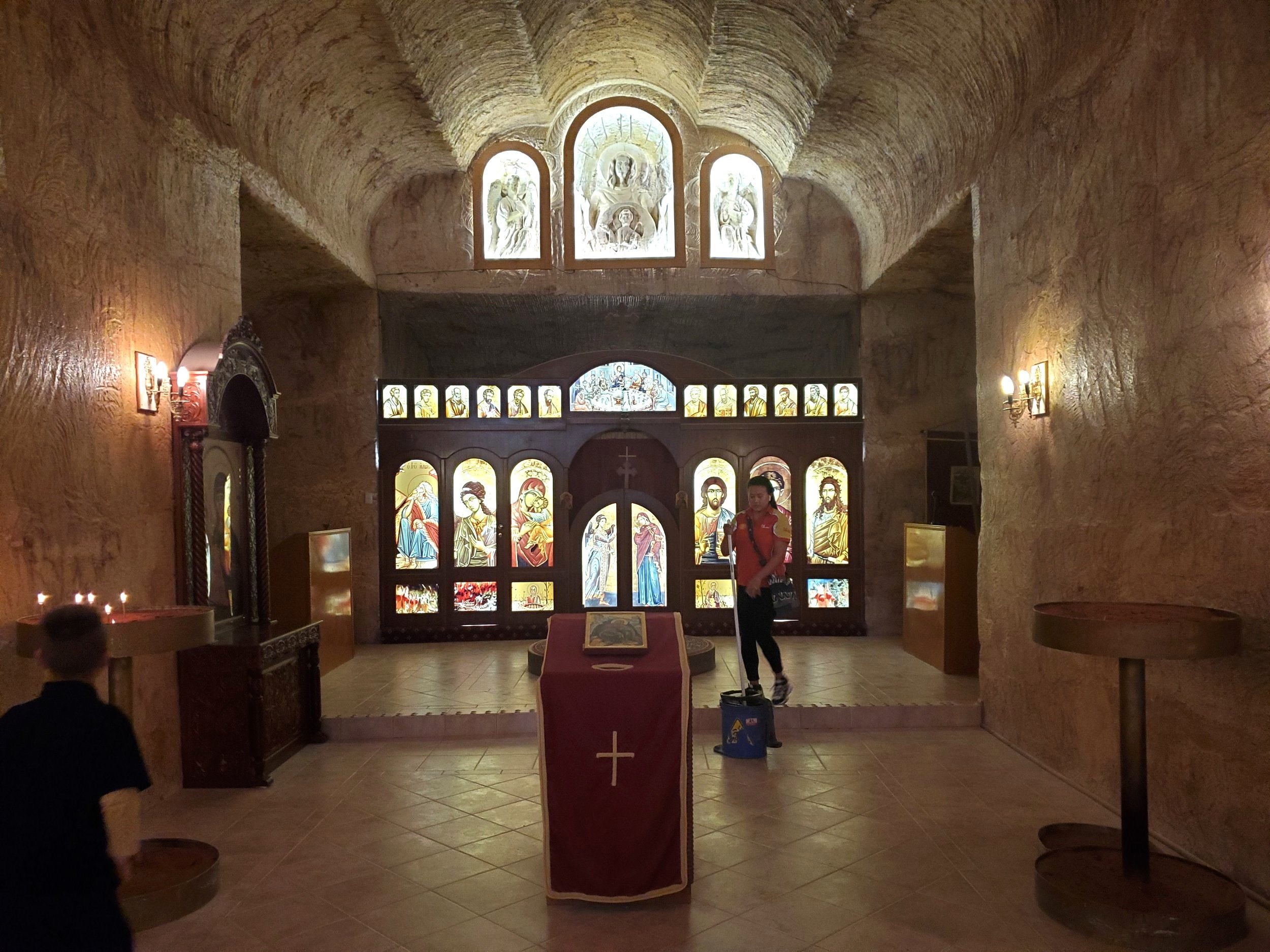
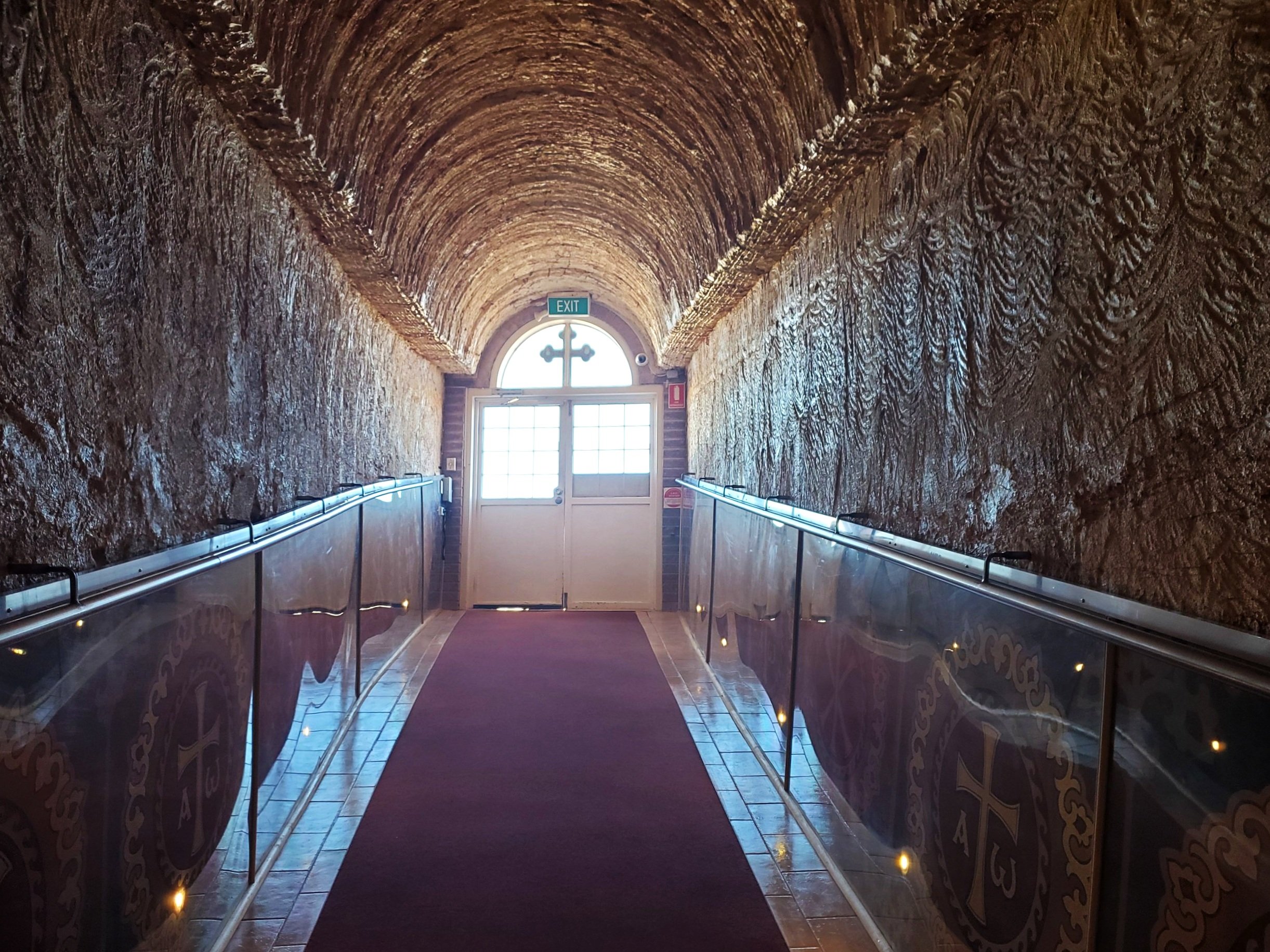
We then popped over to see the underground Serbian Orthodox Church of St Elijah.

We finished the day enjoying a Coober Pedy sunset.

Day 3: Coober Pedy to Yulara
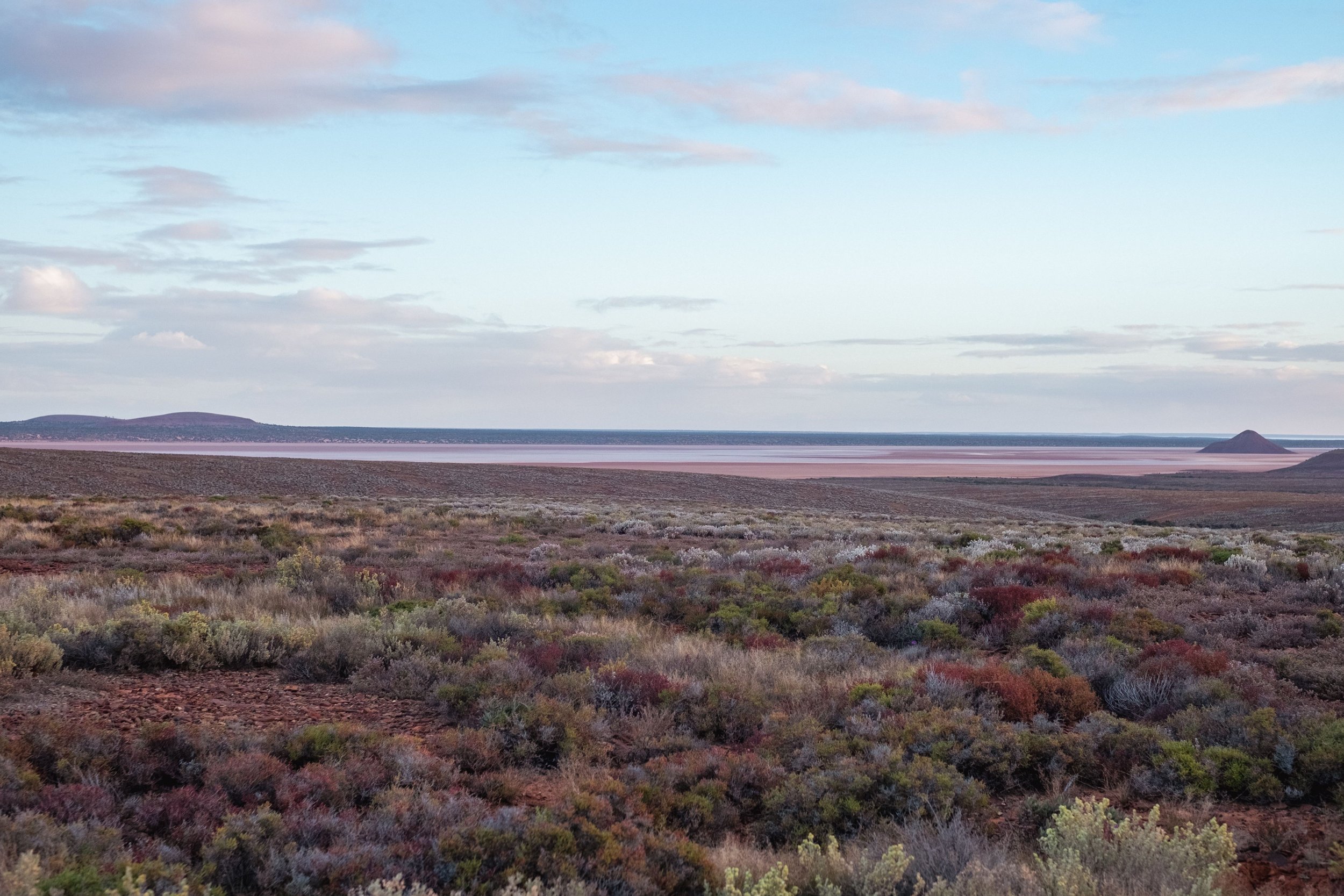
Yulara is the township closest to Uluru and Kata Tjuta. It is essentially a town which exists to cater for the many tourists that visit Uluru and surrounds. The drive from Coober Pedy to Yulara is 753 kms, so a reasonably long day’s drive.

mine tailings can be seen all around coober pedy
Many people, including us, mistake Mt Conner for Uluru as it emerges confidently from the flat landscape as you approach Yulara.

mt conner
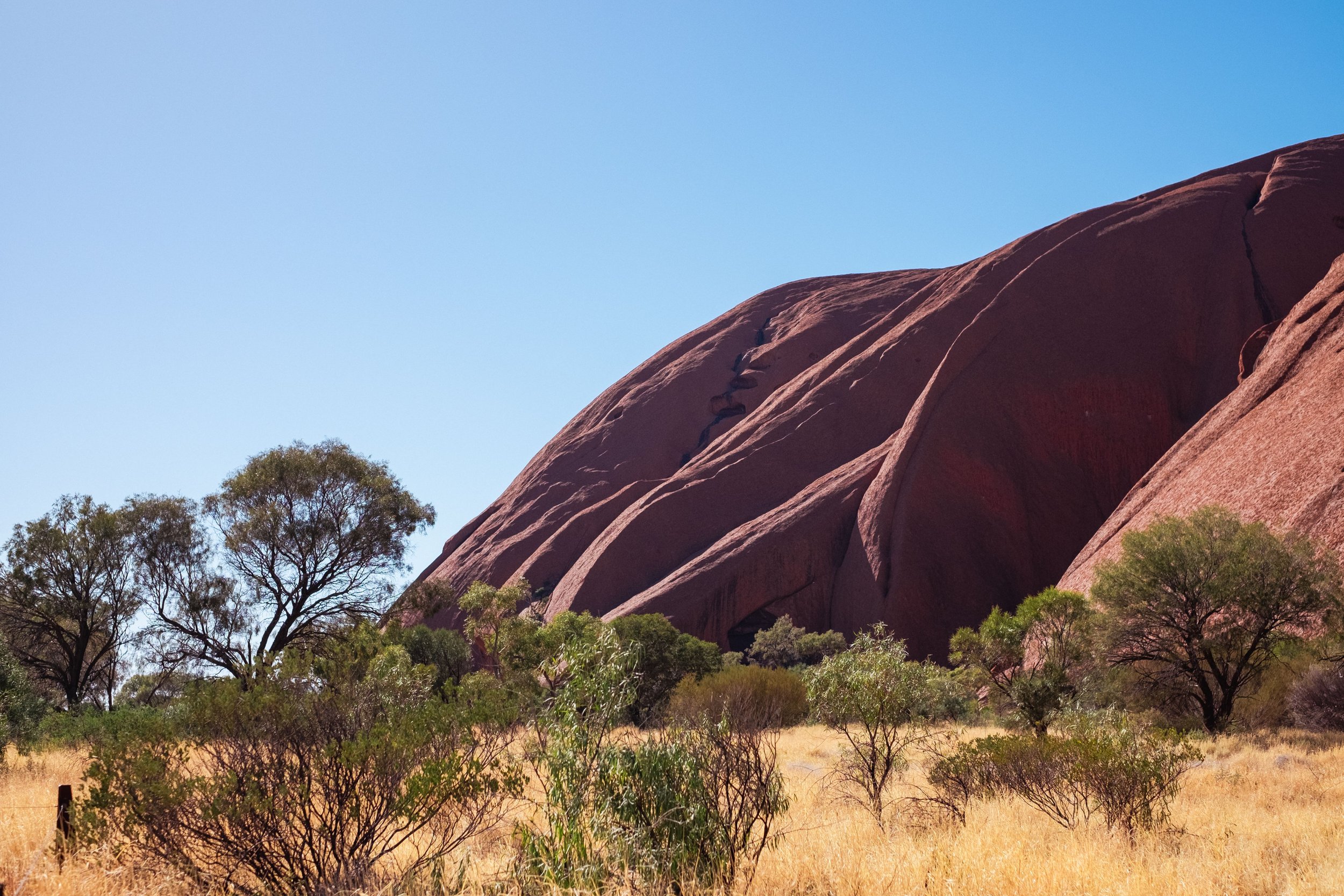
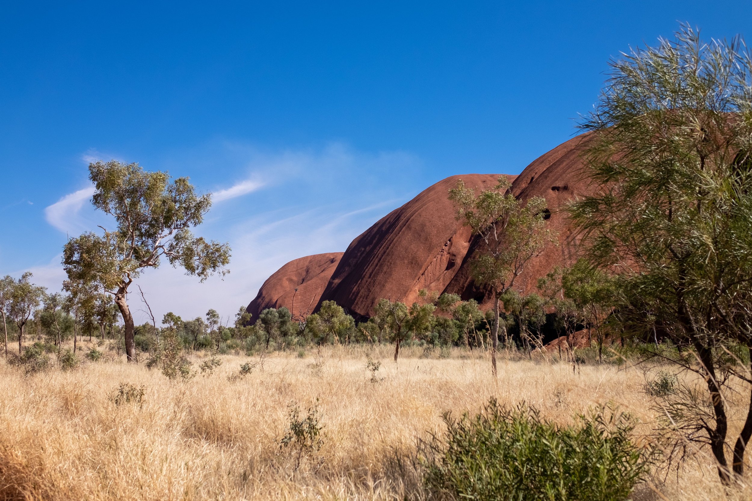
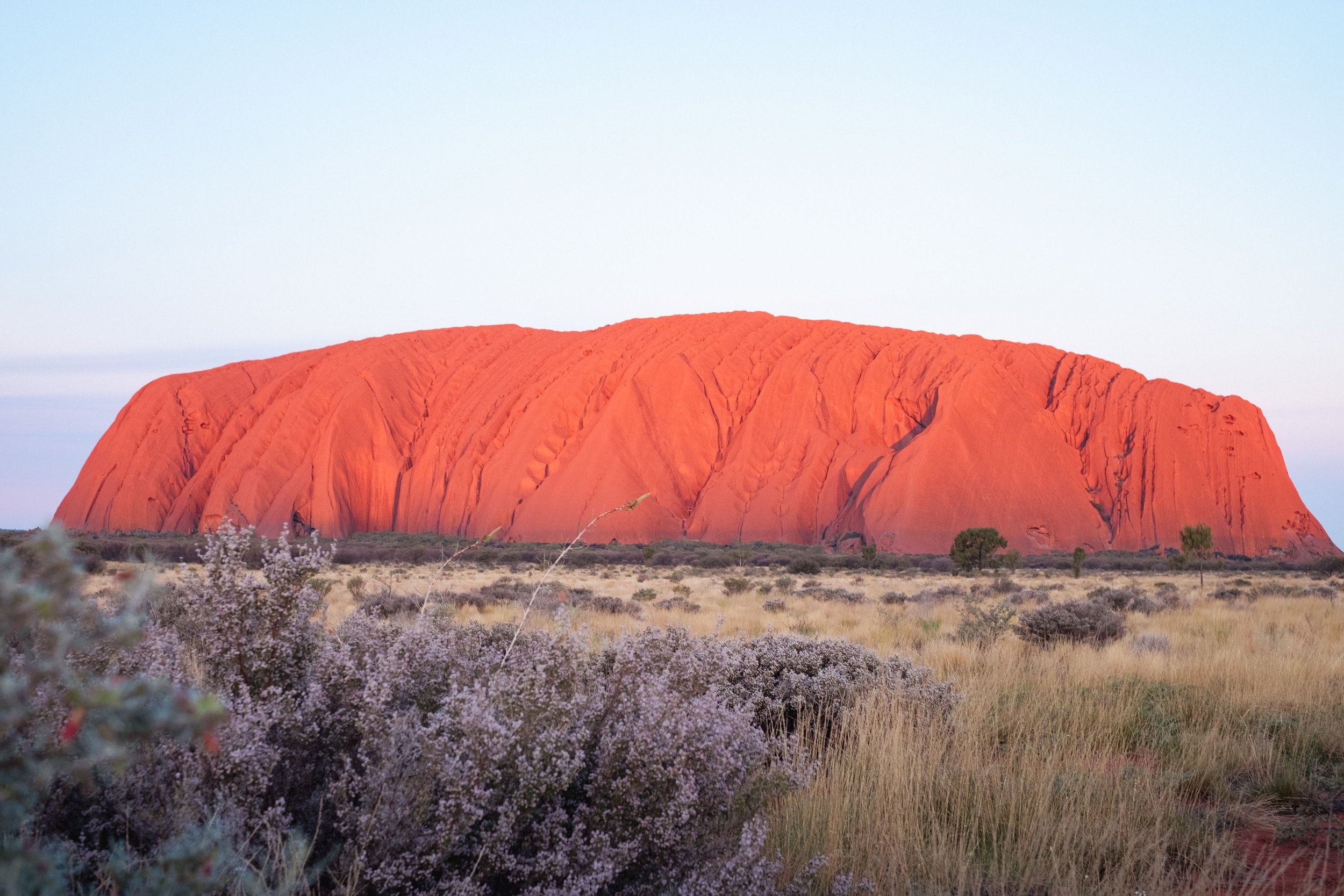
A little further along the road it becomes clear that we’ve been hoodwinked by this cunning imposter when the “real” Uluru comes into view. Everyone out for the first of many photos of this massive rock.

We finished the day setting up camp at the Ayres Rock Campground at Yulara.

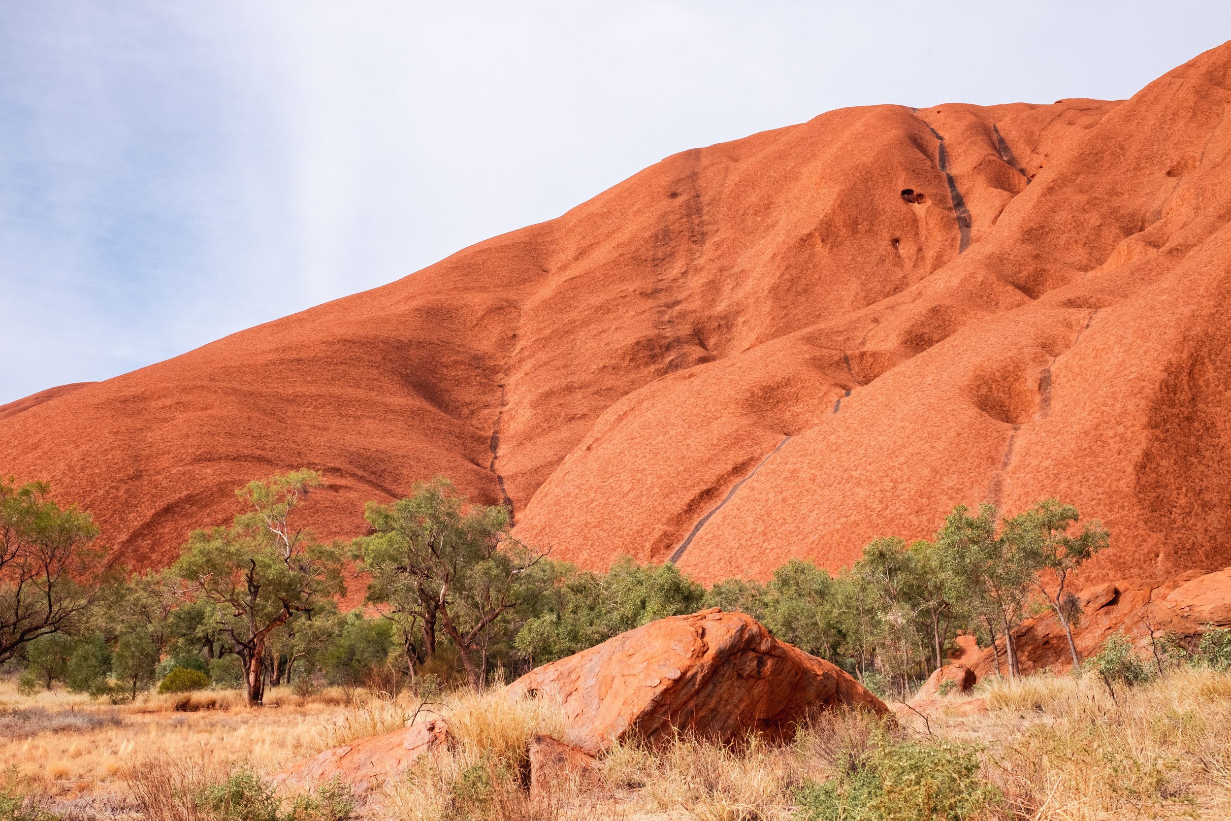
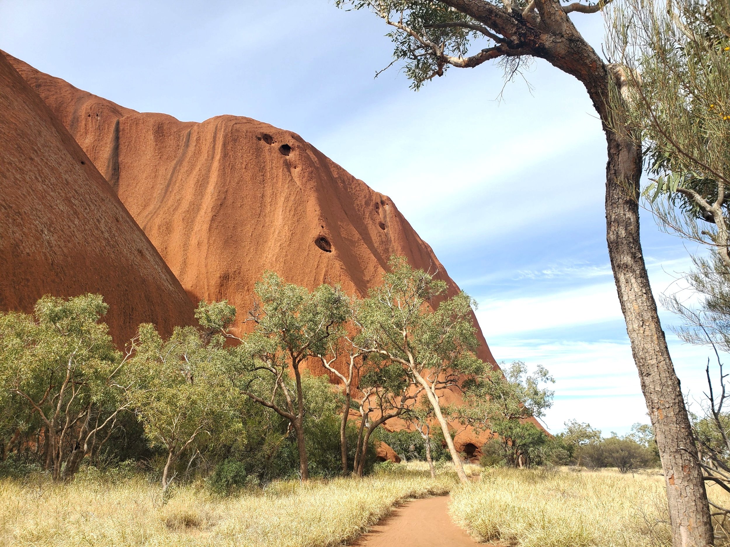
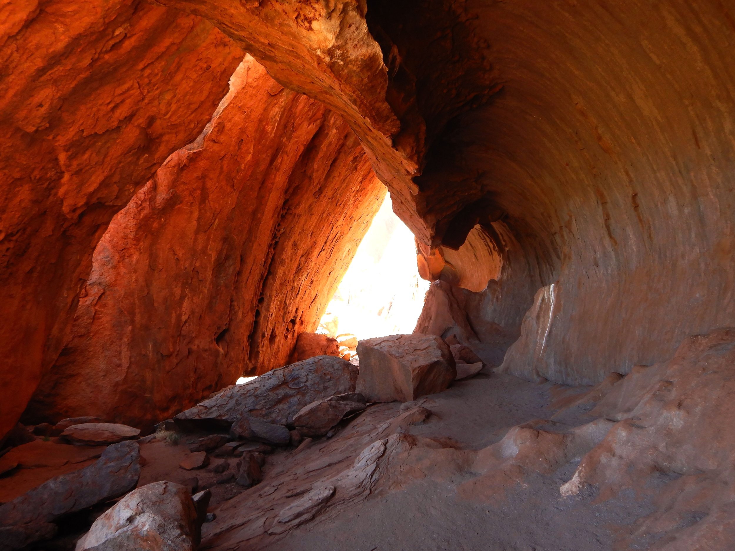
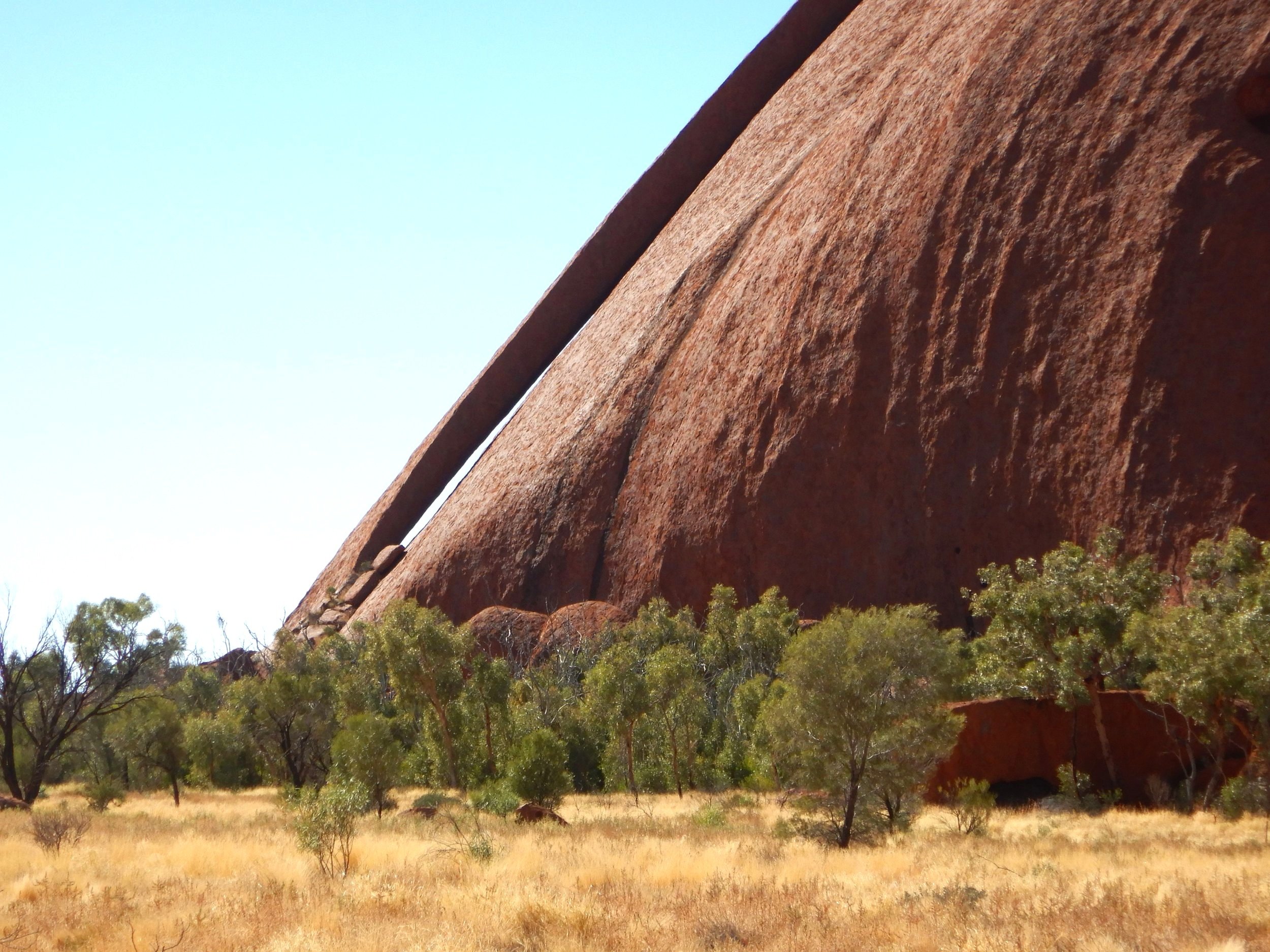
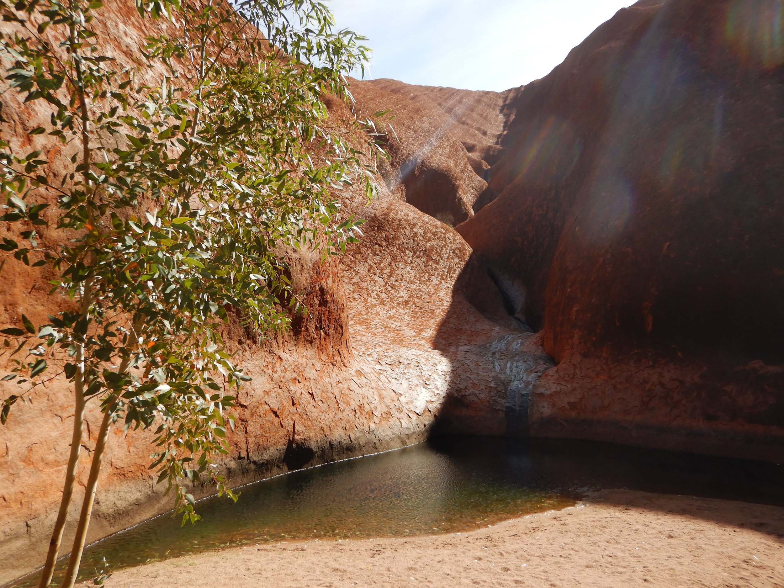
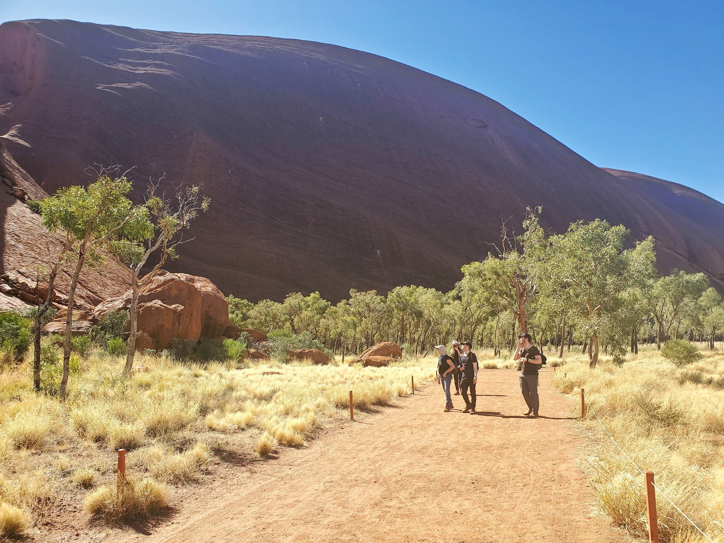
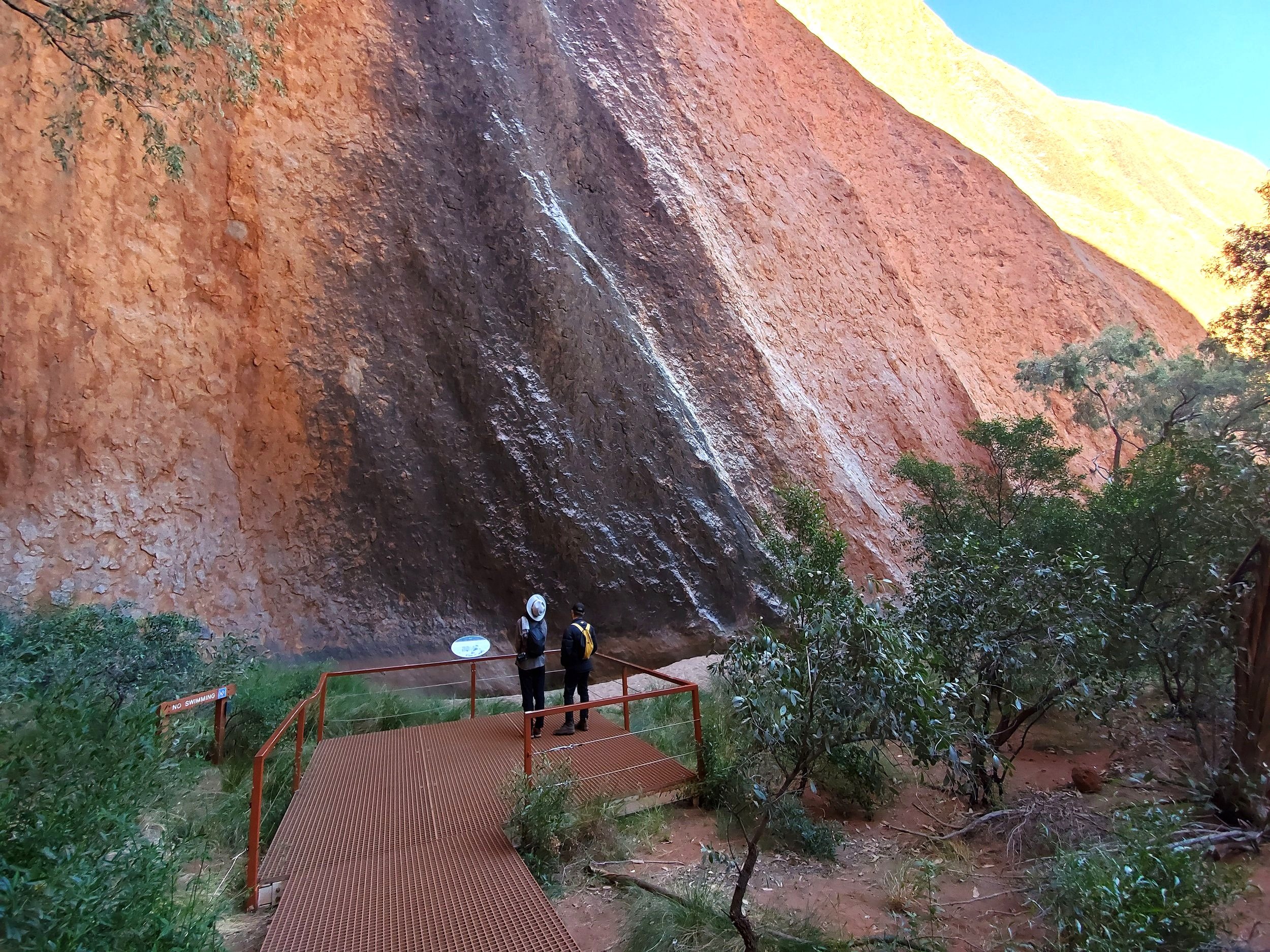
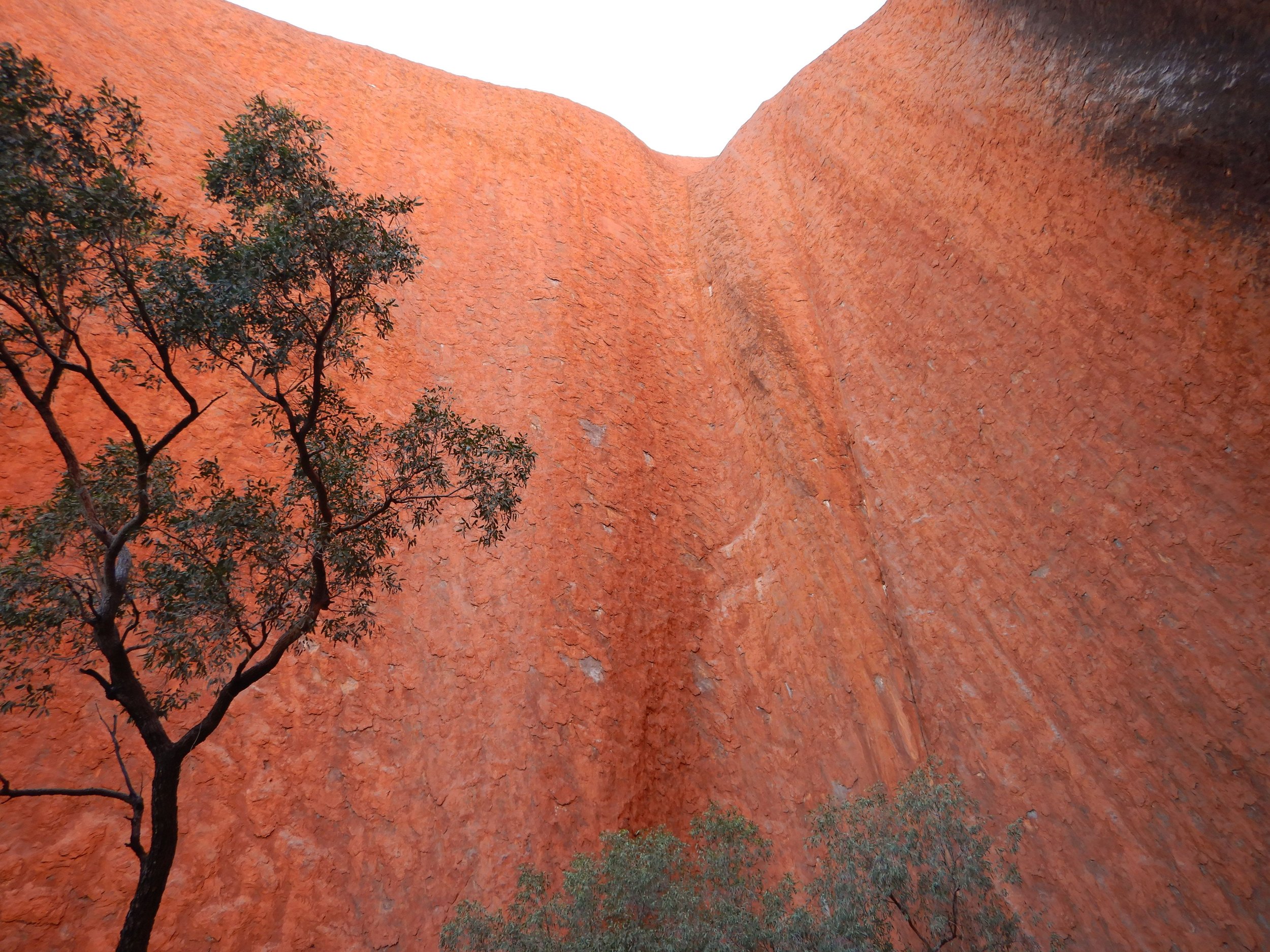
Day 4: Uluru
Our program for this day was simple: explore Uluru.
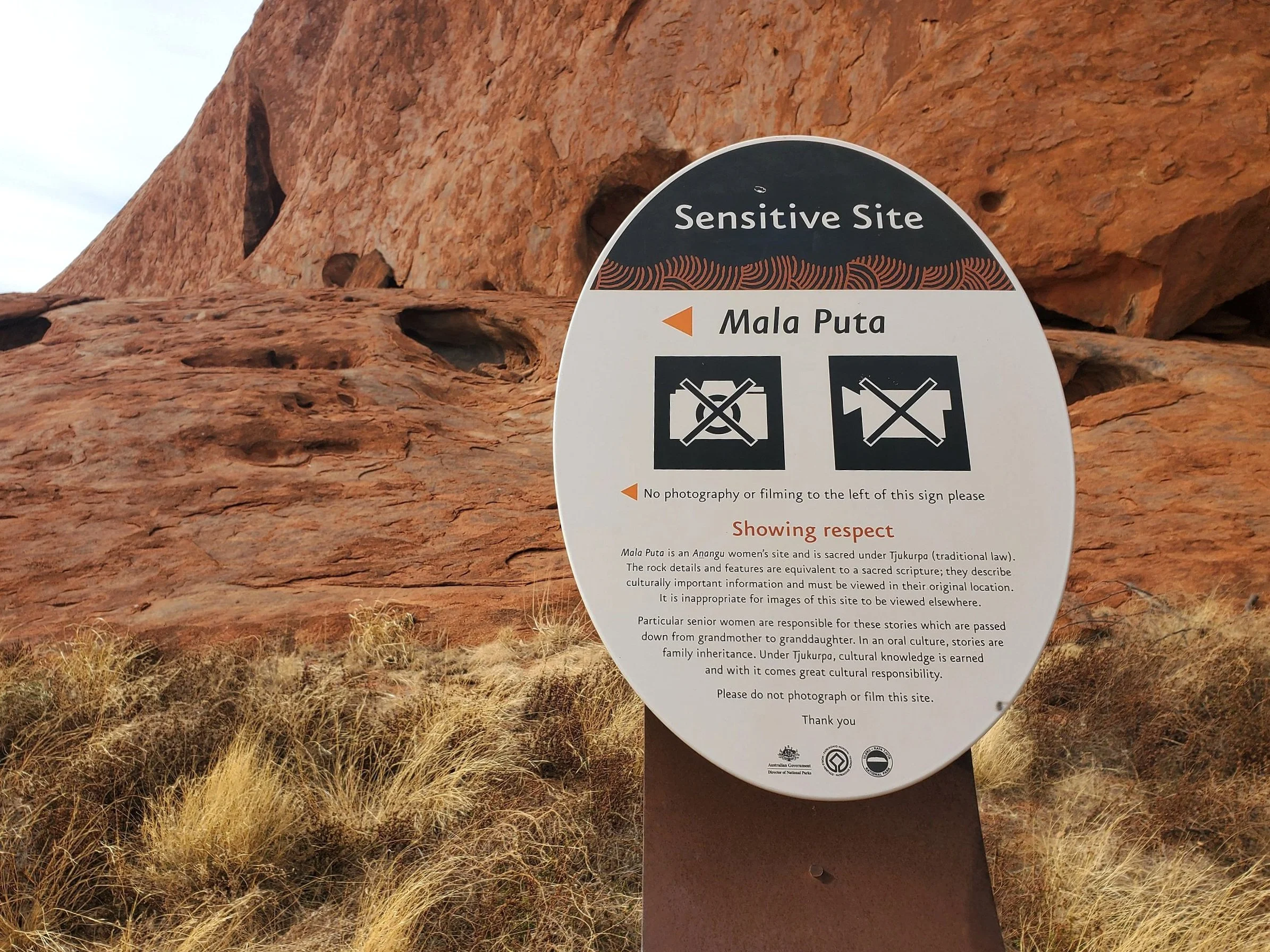
On the drive in traditional owners and National Parks staff were conducting a cultural burn. Such burns take place over winter as part of the traditional management of the land which has been practiced for more than 30,000 years by the Anangu people. Such burns aid regeneration of bush foods and other plants, as well as reduce fuel loads.

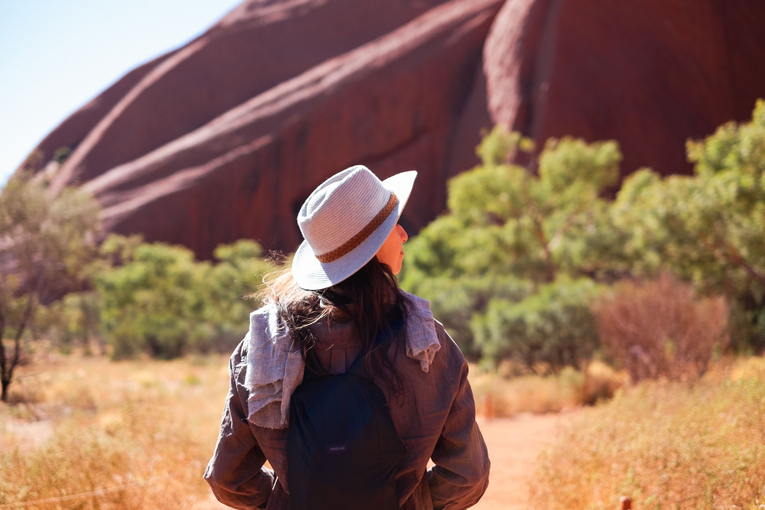
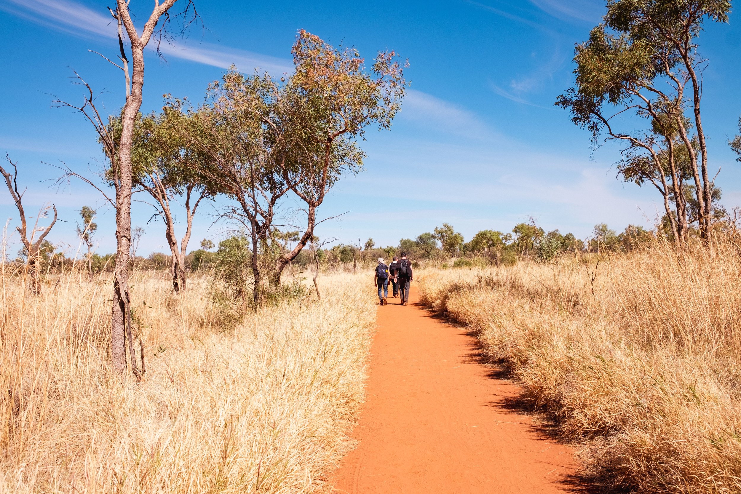
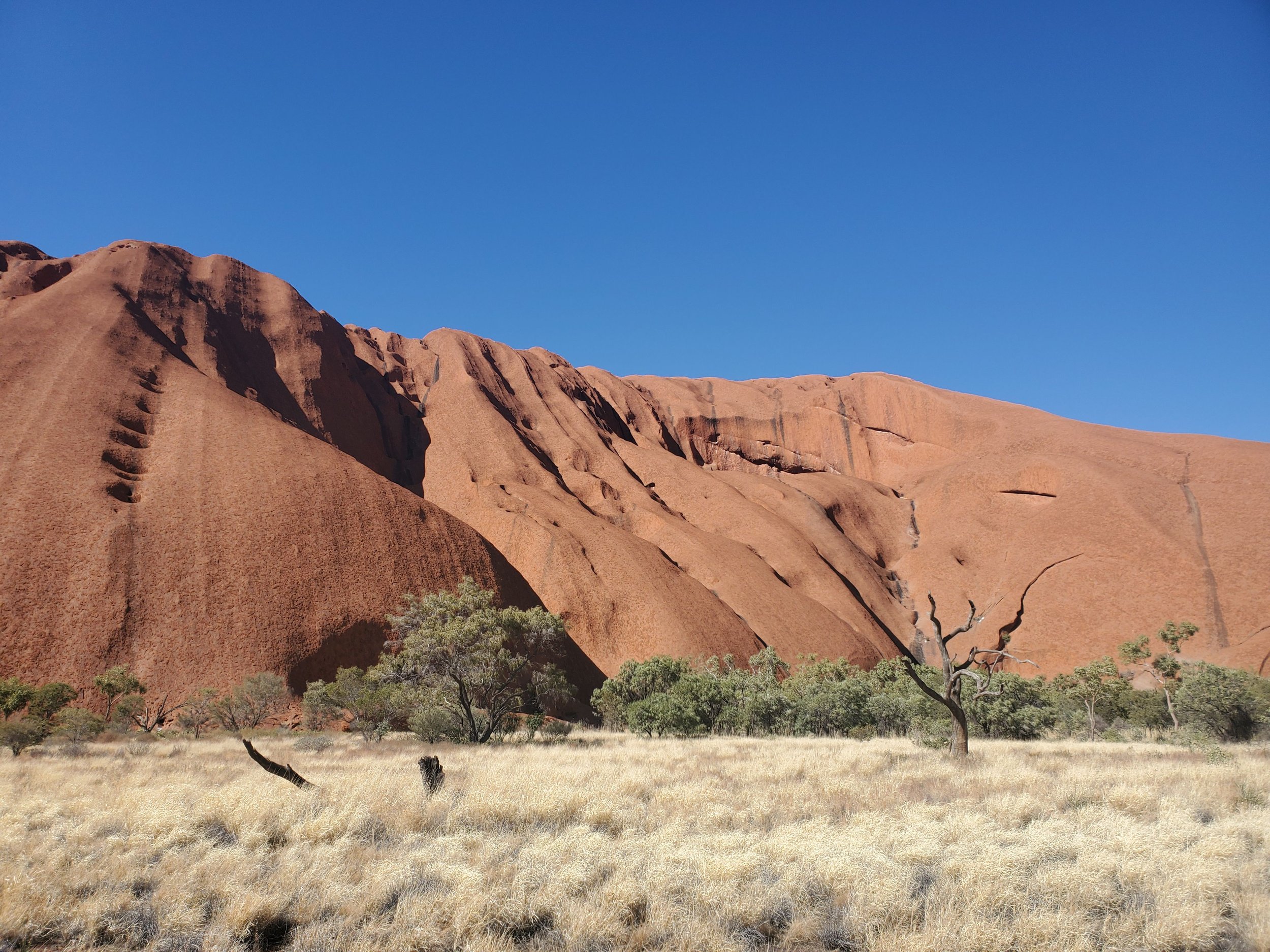
We were blessed with pleasant winter weather, around 20 degrees C. Good for walking. We opted to do the Base Walk, a 10.6 km circuit around Uluru.

on the base walk
Interpretation boards provide important information about sensitive sites and cultural significance.
The base walk took us around 4 hours.

We finished the day at the designated sunset viewing spot.

It was a little cloudy, so we didn’t quite nail the sunset shot, but still pretty good.

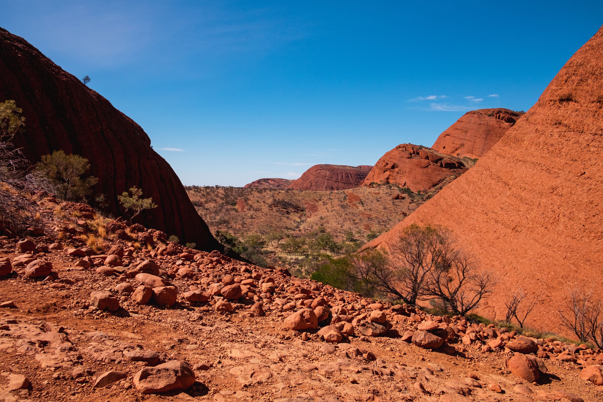
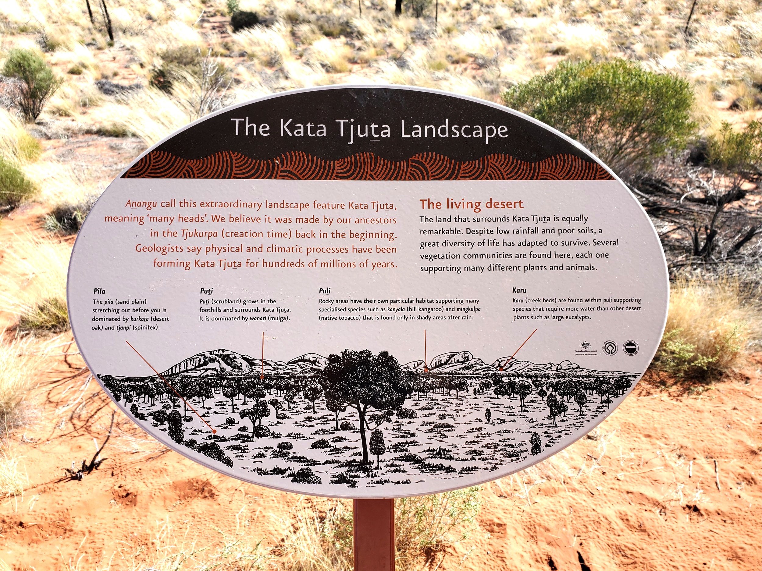
Day 5: Kata Tjuta
Kata Tjuta (the Olgas) are 35 kms west of Uluru or 53 kms by road from Yulara. They are a large group of domed rock formations.

An excellent viewing platform on the way there provides a great photo op.

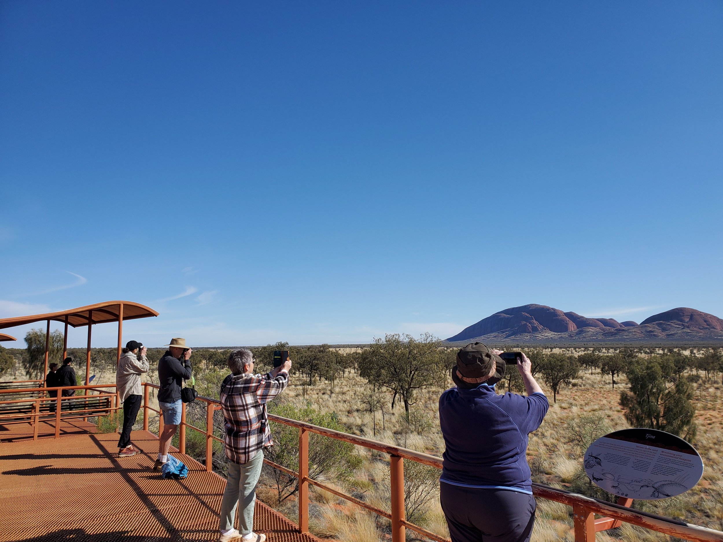
Uluru can be seen from here too.

We decided to do the 7.4 km Valley of the Winds Walk.


It was well worth the effort. A bit more up and down than the previous day’s flat walk around Uluru.

The highest point of Kata Tjuta is Mt Olga. At 546 metres it is almost 200 metres higher than the highest point on Uluru.

We also did the shorter Walpa Gorge Walk.

Day 6: Uluru to Kings Canyon
After packing up our campsite we drove the 302 kms to Kings Canyon.

first glimpse of kings canyon
We treated this as a cruisy day after a couple of big walking days, taking our time to set up camp at the Kings Canyon Campground.

kings canyon campground
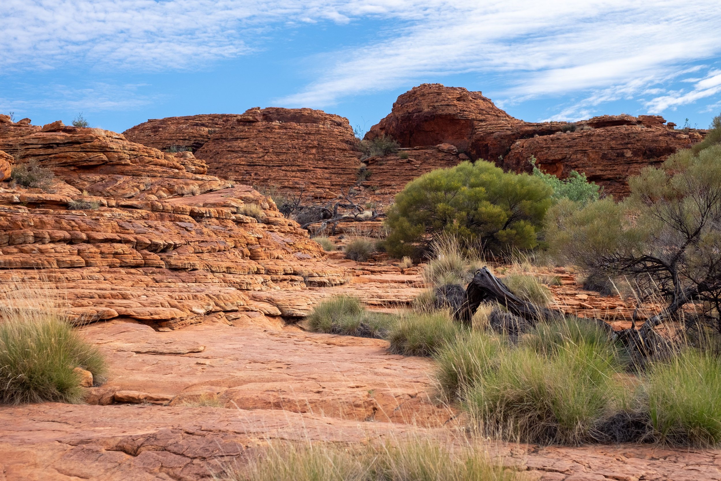
Day 7: Kings Canyon
Another perfect, mild winter’s day.

entrance to kings canyon
Kings Canyon is within Watarrka National Park. The canyon’s 300 metre high cliffs are an awesome sight. We were keen to do the 6 km full rim walk in order to take in as much as possible in a day walk.

Starting at the level of the canyon floor there was a bit of huffing and puffing as we ascended to the rim.

Once up the views were spectacular.

The walk follows the canyon’s rim with various good vantage points along the way.

We descended steep steps to the evocatively named Garden of Eden.


We completed the rim walk in around 3 hours.


We still had enough energy to do the short Kings Creek Walk (2 kms return).

kings creek walk
As well as the Kathleen Springs Walk (2.6 kms return).

At one point it passes some old stock yards.

And finishes at a cool waterhole.

Day 8: Kings Canyon to Alice Springs
If travelling from Kings Canyon to Alice Springs in a conventional 2 wheel drive vehicle the sealed road route follows the Lasseter and Stuart Highways and takes around 5 hours. There is a shorter, unsealed 4x4 route, known as the Mereenie Loop Road, which requires a permit from the traditional owners of the land the loop passes through (easily arranged through Kings Canyon Resort).

gum tree - kings canyon
In our case we had one 4x4 and one All Wheel Drive (AWD) vehicle. We decided to take the sealed route, with one minor variation; to take a shortcut along the unsealed Ernest Giles Road. This 100 km stretch is “4x4 recommended”. We found it to be well graded and no problem, though it may have been different if wet. We even saw several conventional vehicles on the road. This short cut saved us around 200 kms.

dry RIVERBED - ernest giles road
It also gave us access to Henbury Meteorite Craters.

This is a series of 12 small craters formed by a meteorite that disintegrated when hitting the earth 4700 years ago.

We did the short walk out and around the largest crater.

We finished Day 8 in Alice Springs.
Day 9: Alice Springs – West MacDonnell Ranges
The MacDonnell Ranges spread to the east and west of Alice. The West Macdonnell’s are more visited than the East. One of the most popular spots is Standley Chasm. It is a narrow gorge with sheer 80 metre high walls.

The short 1.2 km path from the entrance to the chasm follows a gum-lined creek bed.

It is a rare permanent water source in this region.

Standley Chasm is owned by the local Iwupataka community.

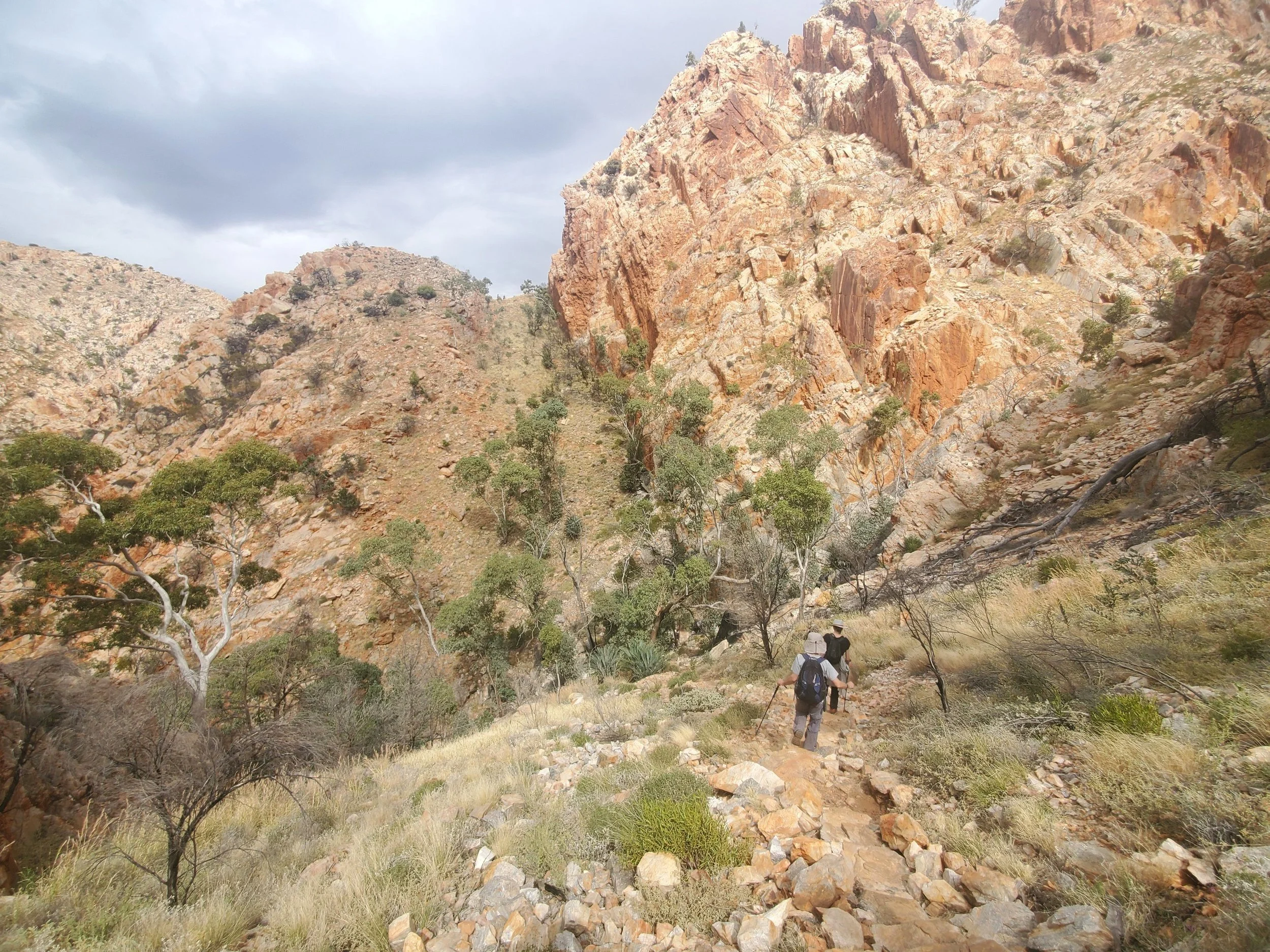
Having checked out the chasm we took some steps up to the top of the range and proceeded to walk part of Section 4 of the world famous Larapinta Trail.

The full trail has 12 stages and is 230 kms long.

We just had a small taste.
There are many other interesting places which can be easily visited in the West MacDonnell’s including Serpentine Gorge, Ormiston Gorge, and Glen Helen Gorge. No time this trip, so they’ll have to wait until next time.

Day 10: Alice Springs
On our last day of the trip, we decided to have a more detailed look around Alice township. We started at the Olive Pink Botanic Garden. This garden of local native plants was established by Olive Muriel Pink in 1956. Click here if you’d like to know more about its history.

There are various self-guided, short walks within the gardens.

We followed one trail up to a good viewpoint of the town.

Markers provide information about the various plants and their traditional uses.

Next stop was the Araluen Cultural Precinct.
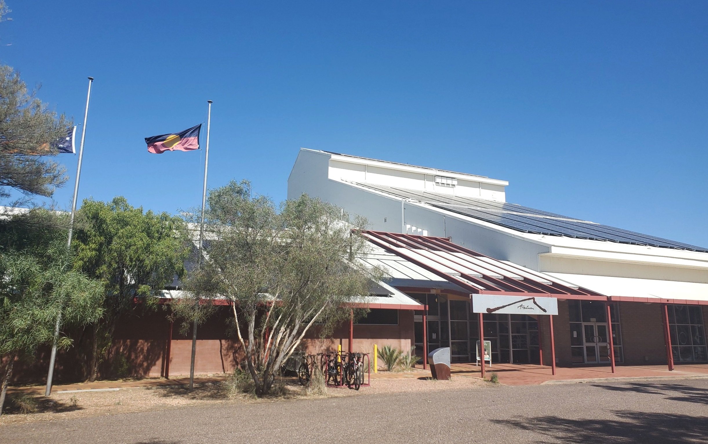
The precinct includes the Araluen Arts Centre. Click here for more info.


Outdoor Sculptures.

The Museum of Central Australia is also here.

The Cultural Precinct is a very worthwhile place to spend a few hours in Alice.

We finished our day at the Jump Inn Craft Beer Bar and Restaurant where we had excellent food and some very nice beers. Definitely recommended. Click here for info.
Conclusion
We packed a lot into our 10 day Taste of the Outback. If anything, it left us wanting to go back for more, a lot more.

uluru base walk
But what it also confirmed to us was that, even with a relatively small amount of time, if you have your own transport, and are prepared to make some early starts, especially on days with a lot of distance to cover, you can see and do a lot.

kata tjuta
You don’t need a big 4x4 rig. You might not be far off the beaten track when restricted largely to sealed roads, but it’s still pretty amazing.
Ken and Cally
Photo Gallery - Zac Hardaker